Distance to Bolling, North Carolina

Calculating Your Route
Just a moment while we process your request...
Location Information
-
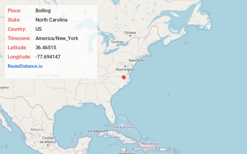
Full AddressBolling, NC 27870
-
Coordinates36.4651501, -77.6941474
-
LocationNorth Carolina , US
-
TimezoneAmerica/New_York
-
Current Local Time12:06:33 AM America/New_YorkWednesday, June 18, 2025
-
Page Views0
Nearby Places
Found 10 places within 50 miles

South Rosemary
1.0 mi
1.6 km
South Rosemary, NC 27870
Get directions

Roanoke Rapids
2.2 mi
3.5 km
Roanoke Rapids, NC 27870
Get directions
Gum Forks
2.9 mi
4.7 km
Gum Forks, NC 27831
Get directions

Gaston
3.6 mi
5.8 km
Gaston, NC
Get directions
Rheasville
3.8 mi
6.1 km
Rheasville, NC 27870
Get directions
Vultare
5.3 mi
8.5 km
Vultare, NC 27832
Get directions
Thelma
5.5 mi
8.9 km
Thelma, NC 27870
Get directions
Brewers Crossroads
5.9 mi
9.5 km
Brewers Crossroads, NC 27831
Get directions
Stancell
6.0 mi
9.7 km
Stancell, NC 27832
Get directions

Weldon
6.1 mi
9.8 km
Weldon, NC 27890
Get directions
Location Links
Local Weather
Weather Information
Coming soon!
Location Map
Static map view of Bolling, North Carolina
Browse Places by Distance
Places within specific distances from Bolling
Short Distances
Long Distances
Click any distance to see all places within that range from Bolling. Distances shown in miles (1 mile ≈ 1.61 kilometers).