Distance to Weldon, North Carolina

Calculating Your Route
Just a moment while we process your request...
Location Information
-
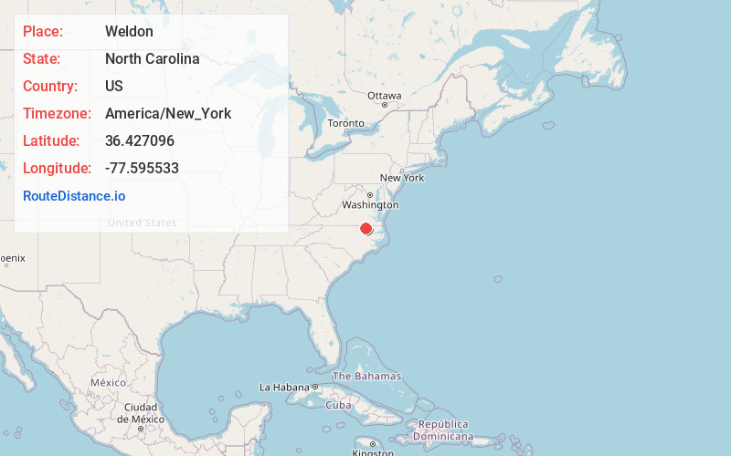
Full AddressWeldon, NC 27890
-
Coordinates36.427096, -77.5955331
-
LocationWeldon , North Carolina , US
-
TimezoneAmerica/New_York
-
Current Local Time3:21:36 PM America/New_YorkTuesday, June 17, 2025
-
Page Views0
About Weldon
Weldon is a town in Halifax County, North Carolina, United States. The population was 1,655 at the 2010 census. It is part of the Roanoke Rapids, North Carolina Micropolitan Statistical Area.


Nearby Places
Found 10 places within 50 miles

Roanoke Rapids
4.0 mi
6.4 km
Roanoke Rapids, NC 27870
Get directions

South Rosemary
5.9 mi
9.5 km
South Rosemary, NC 27870
Get directions

Enfield
17.5 mi
28.2 km
Enfield, NC 27823
Get directions

Emporia
18.1 mi
29.1 km
Emporia, VA 23847
Get directions

Scotland Neck
22.8 mi
36.7 km
Scotland Neck, NC 27874
Get directions

Murfreesboro
27.6 mi
44.4 km
Murfreesboro, NC
Get directions

Red Oak
32.0 mi
51.5 km
Red Oak, NC
Get directions

Ahoskie
35.3 mi
56.8 km
Ahoskie, NC 27910
Get directions
Courtland
35.4 mi
57.0 km
Courtland, VA 23837
Get directions

Rocky Mount
35.7 mi
57.5 km
Rocky Mount, NC
Get directions
Location Links
Local Weather
Weather Information
Coming soon!
Location Map
Static map view of Weldon, North Carolina
Browse Places by Distance
Places within specific distances from Weldon
Short Distances
Long Distances
Click any distance to see all places within that range from Weldon. Distances shown in miles (1 mile ≈ 1.61 kilometers).