Distance to Bone Gap, Illinois

Calculating Your Route
Just a moment while we process your request...
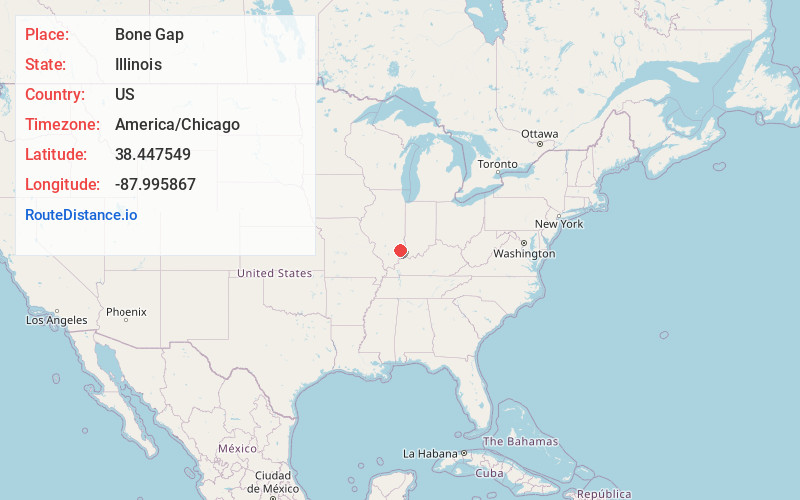
Location Information
-
Full AddressBone Gap, IL 62815
-
Coordinates38.4475492, -87.9958669
-
LocationBone Gap , Illinois , US
-
TimezoneAmerica/Chicago
-
Current Local Time4:17:56 PM America/ChicagoWednesday, June 18, 2025
-
Page Views0
About Bone Gap
Bone Gap is a village in Edwards County, Illinois, United States. The population was 181 at the 2020 census, down from 246 at the 2010 census.
Nearby Places
Found 10 places within 50 miles

Browns
4.9 mi
7.9 km
Browns, IL 62818
Get directions
West Salem
5.1 mi
8.2 km
West Salem, IL 62476
Get directions

Albion
5.8 mi
9.3 km
Albion, IL 62806
Get directions
Bellmont
6.3 mi
10.1 km
Bellmont, IL
Get directions

Parkersburg
10.4 mi
16.7 km
Parkersburg, IL 62452
Get directions

Mt Carmel
12.9 mi
20.8 km
Mt Carmel, IL 62863
Get directions

Grayville
13.1 mi
21.1 km
Grayville, IL 62844
Get directions
Allendale
16.4 mi
26.4 km
Allendale, IL 62410
Get directions
Sumner
20.0 mi
32.2 km
Sumner, IL
Get directions

Crossville
20.1 mi
32.3 km
Crossville, IL 62827
Get directions
Location Links
Local Weather
Weather Information
Coming soon!
Location Map
Static map view of Bone Gap, Illinois
Browse Places by Distance
Places within specific distances from Bone Gap
Short Distances
Long Distances
Click any distance to see all places within that range from Bone Gap. Distances shown in miles (1 mile ≈ 1.61 kilometers).