Distance to Border Plains, Iowa

Calculating Your Route
Just a moment while we process your request...
Location Information
-
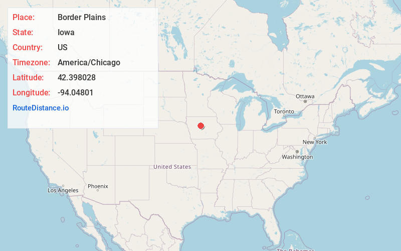
Full AddressBorder Plains, IA 50557
-
Coordinates42.3980275, -94.0480101
-
LocationIowa , US
-
TimezoneAmerica/Chicago
-
Current Local Time2:00:40 PM America/ChicagoTuesday, June 24, 2025
-
Page Views0
Nearby Places
Found 10 places within 50 miles

Lehigh
2.6 mi
4.2 km
Lehigh, IA 50557
Get directions
Brushy
3.0 mi
4.8 km
Brushy, IA 50532
Get directions
Burnside
4.7 mi
7.6 km
Burnside, IA 50521
Get directions
Judd
5.1 mi
8.2 km
Judd, IA 50501
Get directions
Coalville
5.1 mi
8.2 km
Coalville, IA 50501
Get directions
Otho
5.5 mi
8.9 km
Otho, IA 50569
Get directions

Duncombe
5.7 mi
9.2 km
Duncombe, IA 50532
Get directions
Roberts
6.7 mi
10.8 km
Roberts, IA 50569
Get directions
Lundgren
6.8 mi
10.9 km
Lundgren, IA 50501
Get directions
Shady Oak
7.1 mi
11.4 km
Shady Oak, IA 50501
Get directions
Location Links
Local Weather
Weather Information
Coming soon!
Location Map
Static map view of Border Plains, Iowa
Browse Places by Distance
Places within specific distances from Border Plains
Short Distances
Long Distances
Click any distance to see all places within that range from Border Plains. Distances shown in miles (1 mile ≈ 1.61 kilometers).