Distance to Botkins, Ohio

Calculating Your Route
Just a moment while we process your request...
Location Information
-
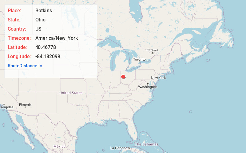
Full AddressBotkins, OH
-
Coordinates40.4677798, -84.182099
-
LocationBotkins , Ohio , US
-
TimezoneAmerica/New_York
-
Current Local Time7:45:12 PM America/New_YorkThursday, June 19, 2025
-
Website
-
Page Views0
About Botkins
Botkins is a village in Shelby County, Ohio, United States. The population was 1,155 at the 2020 census.
Botkins is located alongside Interstate 75 at Exit 104. Botkins is at the northern edge of Shelby County, immediately south of its border with Auglaize County.

Nearby Places
Found 10 places within 50 miles

Anna
5.1 mi
8.2 km
Anna, OH 45302
Get directions

Wapakoneta
6.9 mi
11.1 km
Wapakoneta, OH 45895
Get directions

New Knoxville
7.2 mi
11.6 km
New Knoxville, OH 45871
Get directions

Jackson Center
7.7 mi
12.4 km
Jackson Center, OH 45334
Get directions

New Bremen
10.6 mi
17.1 km
New Bremen, OH
Get directions

Minster
11.4 mi
18.3 km
Minster, OH 45865
Get directions

St Marys
12.1 mi
19.5 km
St Marys, OH 45885
Get directions

Sidney
12.8 mi
20.6 km
Sidney, OH 45365
Get directions

Fort Loramie
12.9 mi
20.8 km
Fort Loramie, OH 45845
Get directions

Cridersville
13.0 mi
20.9 km
Cridersville, OH
Get directions
Location Links
Local Weather
Weather Information
Coming soon!
Location Map
Static map view of Botkins, Ohio
Browse Places by Distance
Places within specific distances from Botkins
Short Distances
Long Distances
Click any distance to see all places within that range from Botkins. Distances shown in miles (1 mile ≈ 1.61 kilometers).