Distance to Minster, Ohio

Calculating Your Route
Just a moment while we process your request...
Location Information
-
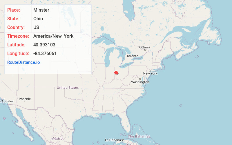
Full AddressMinster, OH 45865
-
Coordinates40.3931033, -84.3760612
-
LocationMinster , Ohio , US
-
TimezoneAmerica/New_York
-
Current Local Time3:26:11 PM America/New_YorkFriday, May 30, 2025
-
Website
-
Page Views0
About Minster
Minster is a village in Auglaize and Shelby counties, in the U.S. state of Ohio. The population was 3,046 at the 2020 census. It is included in the Wapakoneta, Ohio Micropolitan Statistical Area. It is adjacent to the village of New Bremen to the north.


Nearby Places
Found 10 places within 50 miles

St Marys
10.3 mi
16.6 km
St Marys, OH 45885
Get directions

Sidney
13.8 mi
22.2 km
Sidney, OH 45365
Get directions

Coldwater
14.6 mi
23.5 km
Coldwater, OH 45828
Get directions

Celina
14.8 mi
23.8 km
Celina, OH 45822
Get directions

Wapakoneta
15.4 mi
24.8 km
Wapakoneta, OH 45895
Get directions

Piqua
18.5 mi
29.8 km
Piqua, OH
Get directions

Fort Shawnee
23.8 mi
38.3 km
Fort Shawnee, OH
Get directions

Greenville
24.2 mi
38.9 km
Greenville, OH 45331
Get directions

Troy
26.1 mi
42.0 km
Troy, OH 45373
Get directions

Union City
26.4 mi
42.5 km
Union City, IN 47390
Get directions
Location Links
Local Weather
Weather Information
Coming soon!
Location Map
Static map view of Minster, Ohio
Browse Places by Distance
Places within specific distances from Minster
Short Distances
Long Distances
Click any distance to see all places within that range from Minster. Distances shown in miles (1 mile ≈ 1.61 kilometers).