Distance to Fort Shawnee, Ohio

Calculating Your Route
Just a moment while we process your request...
Location Information
-
Full AddressFort Shawnee, OH
-
Coordinates40.6867169, -84.1377259
-
LocationFort Shawnee , Ohio , US
-
TimezoneAmerica/New_York
-
Current Local Time1:47:25 PM America/New_YorkTuesday, July 1, 2025
-
Website
-
Page Views0
About Fort Shawnee
Fort Shawnee is census-designated place in Allen County, Ohio, United States. The population was 6,263 at the 2020 census. It is included in the Lima, Ohio Metropolitan Statistical Area. Fort Shawnee is adjacent to the city of Lima and the village of Cridersville in Auglaize County.
Nearby Places
Found 10 places within 50 miles

Lima
4.2 mi
6.8 km
Lima, OH
Get directions

Wapakoneta
8.7 mi
14.0 km
Wapakoneta, OH 45895
Get directions

Delphos
15.2 mi
24.5 km
Delphos, OH 45833
Get directions

St Marys
16.5 mi
26.6 km
St Marys, OH 45885
Get directions

Celina
24.6 mi
39.6 km
Celina, OH 45822
Get directions

Van Wert
26.6 mi
42.8 km
Van Wert, OH 45891
Get directions

Kenton
27.8 mi
44.7 km
Kenton, OH 43326
Get directions

Sidney
27.8 mi
44.7 km
Sidney, OH 45365
Get directions

Bellefontaine
30.0 mi
48.3 km
Bellefontaine, OH 43311
Get directions

Findlay
35.2 mi
56.6 km
Findlay, OH 45840
Get directions
Location Links
Local Weather
Weather Information
Coming soon!
Location Map
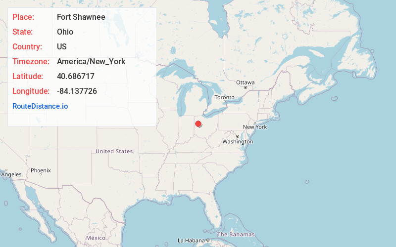
Static map view of Fort Shawnee, Ohio
Browse Places by Distance
Places within specific distances from Fort Shawnee
Short Distances
Long Distances
Click any distance to see all places within that range from Fort Shawnee. Distances shown in miles (1 mile ≈ 1.61 kilometers).