Distance to Kenton, Ohio

Calculating Your Route
Just a moment while we process your request...
Location Information
-
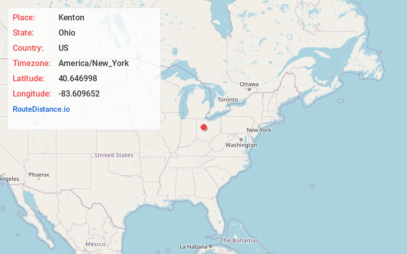
Full AddressKenton, OH 43326
-
Coordinates40.6469982, -83.6096516
-
LocationKenton , Ohio , US
-
TimezoneAmerica/New_York
-
Current Local Time3:31:46 PM America/New_YorkTuesday, June 3, 2025
-
Website
-
Page Views0
About Kenton
Kenton is a city in and the county seat of Hardin County, Ohio, United States, located in the west-central part of Ohio about 57 mi northwest of Columbus and 70 mi south of Toledo. Its population was 7,947 at the 2020 census. The city was named for frontiersman Simon Kenton of Kentucky and Ohio.


Nearby Places
Found 10 places within 50 miles

Bellefontaine
21.3 mi
34.3 km
Bellefontaine, OH 43311
Get directions

Marion
25.6 mi
41.2 km
Marion, OH 43302
Get directions

Lima
26.8 mi
43.1 km
Lima, OH
Get directions

Findlay
27.2 mi
43.8 km
Findlay, OH 45840
Get directions

Marysville
31.1 mi
50.1 km
Marysville, OH 43040
Get directions

Wapakoneta
31.1 mi
50.1 km
Wapakoneta, OH 45895
Get directions

Bucyrus
35.0 mi
56.3 km
Bucyrus, OH 44820
Get directions

Fostoria
36.6 mi
58.9 km
Fostoria, OH 44830
Get directions

Delaware
37.3 mi
60.0 km
Delaware, OH 43015
Get directions

Urbana
38.0 mi
61.2 km
Urbana, OH 43078
Get directions
Location Links
Local Weather
Weather Information
Coming soon!
Location Map
Static map view of Kenton, Ohio
Browse Places by Distance
Places within specific distances from Kenton
Short Distances
Long Distances
Click any distance to see all places within that range from Kenton. Distances shown in miles (1 mile ≈ 1.61 kilometers).