Distance to Bottoms Bridge, Virginia

Calculating Your Route
Just a moment while we process your request...
Location Information
-
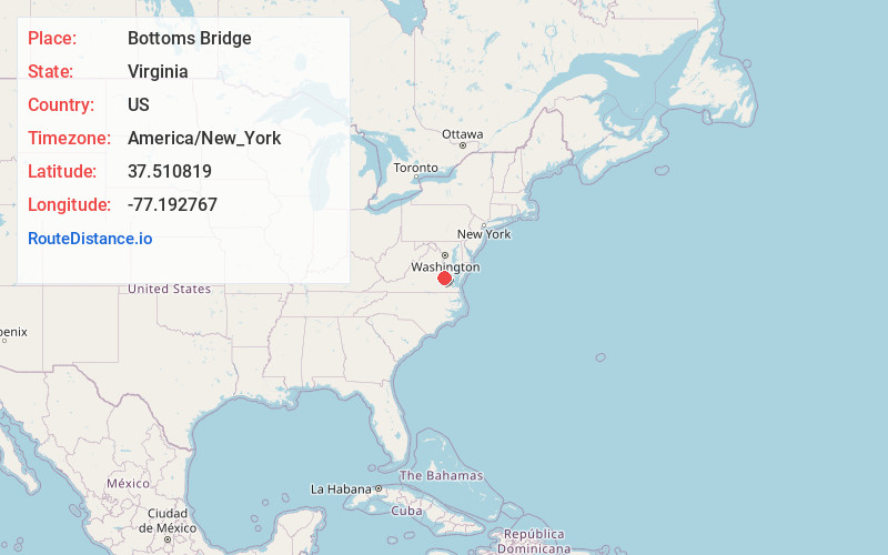
Full AddressBottoms Bridge, VA 23141
-
Coordinates37.5108188, -77.1927673
-
LocationBottoms Bridge , Virginia , US
-
TimezoneAmerica/New_York
-
Current Local Time7:16:37 PM America/New_YorkTuesday, June 17, 2025
-
Page Views0
About Bottoms Bridge
Bottoms Bridge is a small unincorporated community in New Kent County, Virginia, United States. Located on U.S. Route 60 and State Route 33 in modern times, it was named for a crossing of the Chickahominy River between New Kent and Henrico County.
Nearby Places
Found 10 places within 50 miles

Orapax Farms
1.7 mi
2.7 km
Orapax Farms, VA 23141
Get directions
Bradley Acres
2.2 mi
3.5 km
Bradley Acres, VA 23150
Get directions
Currituck Farms
2.2 mi
3.5 km
Currituck Farms, VA 23150
Get directions
Elko
2.8 mi
4.5 km
Elko, VA 23150
Get directions
Woodhaven Shores
3.8 mi
6.1 km
Woodhaven Shores, VA 23141
Get directions

Quinton
4.3 mi
6.9 km
Quinton, VA
Get directions
Nance
5.0 mi
8.0 km
Nance, VA 23140
Get directions
Barkers Mill
5.0 mi
8.0 km
Barkers Mill, VA 23111
Get directions
Ednas Mill
5.1 mi
8.2 km
Ednas Mill, VA 23140
Get directions
Seven Pines
6.1 mi
9.8 km
Seven Pines, Sandston, VA 23150
Get directions
Location Links
Local Weather
Weather Information
Coming soon!
Location Map
Static map view of Bottoms Bridge, Virginia
Browse Places by Distance
Places within specific distances from Bottoms Bridge
Short Distances
Long Distances
Click any distance to see all places within that range from Bottoms Bridge. Distances shown in miles (1 mile ≈ 1.61 kilometers).