Distance to Boulder City, Nevada

Calculating Your Route
Just a moment while we process your request...
Location Information
-
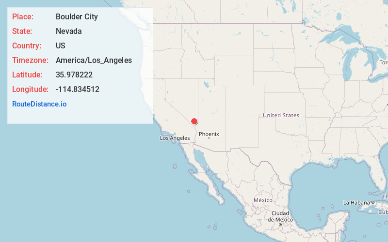
Full AddressBoulder City, NV
-
Coordinates35.9782216, -114.8345117
-
LocationBoulder City , Nevada , US
-
TimezoneAmerica/Los_Angeles
-
Current Local Time2:04:06 PM America/Los_AngelesFriday, June 6, 2025
-
Website
-
Page Views0
About Boulder City
Boulder City is a city in Clark County, Nevada, United States. It is approximately 26 miles southeast of Las Vegas. As of the 2020 census, the population of Boulder City was 14,885. The city took its name from Boulder Canyon.


Nearby Places
Found 8 places within 50 miles

Henderson
9.3 mi
15.0 km
Henderson, NV
Get directions

Whitney
14.1 mi
22.7 km
Whitney, NV
Get directions

Paradise
19.3 mi
31.1 km
Paradise, NV
Get directions

Winchester
19.3 mi
31.1 km
Winchester, NV
Get directions

Sunrise Manor
20.9 mi
33.6 km
Sunrise Manor, NV
Get directions

Las Vegas
21.6 mi
34.8 km
Las Vegas, NV
Get directions

Enterprise
23.0 mi
37.0 km
Enterprise, NV
Get directions

Spring Valley
24.6 mi
39.6 km
Spring Valley, NV
Get directions
Location Links
Local Weather
Weather Information
Coming soon!
Location Map
Static map view of Boulder City, Nevada
Browse Places by Distance
Places within specific distances from Boulder City
Short Distances
Long Distances
Click any distance to see all places within that range from Boulder City. Distances shown in miles (1 mile ≈ 1.61 kilometers).