Distance to Boulder Falls Trailhead, Colorado

Calculating Your Route
Just a moment while we process your request...
Location Information
-
Full AddressBoulder Falls Trailhead, Boulder Canyon Dr, Nederland, CO 80466
-
Coordinates40.0047717, -105.4060641
-
StreetBoulder Canyon Dr
-
LocationNederland , Colorado , US
-
TimezoneAmerica/Denver
-
Current Local Time11:13:55 AM America/DenverSaturday, June 28, 2025
-
Page Views0


Nearby Places
Found 10 places within 50 miles

Sugarloaf
0.8 mi
1.3 km
Sugarloaf, CO 80302
Get directions

Switzerland Park
1.5 mi
2.4 km
Switzerland Park, CO 80302
Get directions
Wheelman
1.7 mi
2.7 km
Wheelman, CO 80302
Get directions
Mountain Meadows
1.9 mi
3.1 km
Mountain Meadows, CO 80302
Get directions
Magnolia
2.3 mi
3.7 km
Magnolia, CO 80466
Get directions
Wallstreet
2.5 mi
4.0 km
Wallstreet, CO 80302
Get directions
Silver Springs
2.7 mi
4.3 km
Silver Springs, CO 80302
Get directions
St Ann Highlands
2.9 mi
4.7 km
St Ann Highlands, St. Ann Highlands, CO 80466
Get directions
Silver Spruce
3.1 mi
5.0 km
Silver Spruce, CO 80466
Get directions
El Vado
3.2 mi
5.1 km
El Vado, CO 80302
Get directions
Location Links
Local Weather
Weather Information
Coming soon!
Location Map
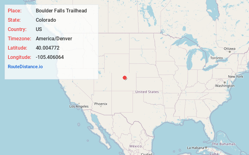
Static map view of Boulder Falls Trailhead, Colorado
Browse Places by Distance
Places within specific distances from Boulder Falls Trailhead
Short Distances
Long Distances
Click any distance to see all places within that range from Boulder Falls Trailhead. Distances shown in miles (1 mile ≈ 1.61 kilometers).