Distance to St Ann Highlands, Colorado

Calculating Your Route
Just a moment while we process your request...
Location Information
-
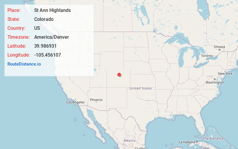
Full AddressSt Ann Highlands, St. Ann Highlands, CO 80466
-
Coordinates39.986931, -105.4561073
-
LocationSt. Ann Highlands , Colorado , US
-
TimezoneAmerica/Denver
-
Current Local Time12:55:40 PM America/DenverTuesday, June 24, 2025
-
Page Views0
About St Ann Highlands
St. Ann Highlands or Saint Ann Highlands is an unincorporated community and a census-designated place located in and governed by Boulder County, Colorado, United States. The CDP is a part of the Boulder, CO Metropolitan Statistical Area.
Nearby Places
Found 10 places within 50 miles

Sugarloaf
3.3 mi
5.3 km
Sugarloaf, CO 80302
Get directions

Nederland
3.4 mi
5.5 km
Nederland, CO 80466
Get directions

Coal Creek
7.5 mi
12.1 km
Coal Creek, CO 80403
Get directions

Pine Brook Hill
8.7 mi
14.0 km
Pine Brook Hill, CO
Get directions
Lazy Acres
9.8 mi
15.8 km
Lazy Acres, CO 80302
Get directions

Boulder
9.9 mi
15.9 km
Boulder, CO
Get directions

Central City
13.1 mi
21.1 km
Central City, CO
Get directions

Altona
13.7 mi
22.0 km
Altona, CO 80302
Get directions
Pine Valley
14.2 mi
22.9 km
Pine Valley, Allenspark, CO 80540
Get directions

Allenspark
14.8 mi
23.8 km
Allenspark, CO
Get directions
Location Links
Local Weather
Weather Information
Coming soon!
Location Map
Static map view of St Ann Highlands, Colorado
Browse Places by Distance
Places within specific distances from St Ann Highlands
Short Distances
Long Distances
Click any distance to see all places within that range from St Ann Highlands. Distances shown in miles (1 mile ≈ 1.61 kilometers).