Distance to Boulder Park, California

Calculating Your Route
Just a moment while we process your request...
Location Information
-
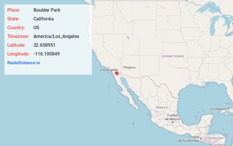
Full AddressBoulder Park, Ocotillo, CA 92259
-
Coordinates32.6589506, -116.1008486
-
NeighborhoodBoulder Park
-
LocationOcotillo , California , US
-
TimezoneAmerica/Los_Angeles
-
Current Local Time4:52:11 PM America/Los_AngelesWednesday, May 28, 2025
-
Page Views0
About Boulder Park
Boulder Park is an unincorporated community in Imperial County, California. It lies at an elevation of 2923 feet along Interstate 8. The Desert View Tower is located in Boulder Park.


Nearby Places
Found 10 places within 50 miles

Mortero Palms
5.1 mi
8.2 km
Mortero Palms, CA
Get directions

Jacumba Hot Springs
5.8 mi
9.3 km
Jacumba Hot Springs, CA 91934
Get directions

Dos Cabezas
6.4 mi
10.3 km
Dos Cabezas, CA
Get directions
Palm Grove
8.2 mi
13.2 km
Palm Grove, CA
Get directions

Ocotillo
8.3 mi
13.4 km
Ocotillo, CA 92259
Get directions

Boulevard
10.1 mi
16.3 km
Boulevard, CA
Get directions
Clover Flat
18.2 mi
29.3 km
Clover Flat, CA 91906
Get directions
Mesquite Oasis
19.3 mi
31.1 km
Mesquite Oasis, CA
Get directions
Dixieland
21.2 mi
34.1 km
Dixieland, CA 92251
Get directions

Campo
21.8 mi
35.1 km
Campo, CA 91906
Get directions
Location Links
Local Weather
Weather Information
Coming soon!
Location Map
Static map view of Boulder Park, California
Browse Places by Distance
Places within specific distances from Boulder Park
Short Distances
Long Distances
Click any distance to see all places within that range from Boulder Park. Distances shown in miles (1 mile ≈ 1.61 kilometers).