Distance to Ocotillo, California

Calculating Your Route
Just a moment while we process your request...
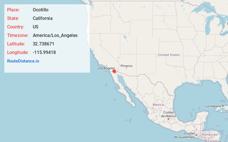
Location Information
-
Full AddressOcotillo, CA 92259
-
Coordinates32.7386713, -115.99418
-
LocationOcotillo , California , US
-
TimezoneAmerica/Los_Angeles
-
Current Local Time8:58:54 AM America/Los_AngelesThursday, May 22, 2025
-
Page Views0
About Ocotillo
Ocotillo is a census-designated place in Imperial County, California. Ocotillo is located 26 miles west of El Centro. The population was 215 at the 2020 census, down from 266 at the 2010 census and 296 at the 2000 census. It is part of the El Centro, California Metropolitan Statistical Area.


Nearby Places
Found 10 places within 50 miles

Jacumba Hot Springs
14.0 mi
22.5 km
Jacumba Hot Springs, CA 91934
Get directions

Boulevard
17.1 mi
27.5 km
Boulevard, CA
Get directions

Seeley
18.0 mi
29.0 km
Seeley, CA
Get directions

El Centro
25.3 mi
40.7 km
El Centro, CA
Get directions

Imperial
25.8 mi
41.5 km
Imperial, CA
Get directions

Heber
27.0 mi
43.5 km
Heber, CA 92249
Get directions

Calexico
29.1 mi
46.8 km
Calexico, CA
Get directions

Campo
29.1 mi
46.8 km
Campo, CA 91906
Get directions

Westmorland
29.9 mi
48.1 km
Westmorland, CA
Get directions

Pine Valley
31.6 mi
50.9 km
Pine Valley, CA 91962
Get directions
Location Links
Local Weather
Weather Information
Coming soon!
Location Map
Static map view of Ocotillo, California
Browse Places by Distance
Places within specific distances from Ocotillo
Short Distances
Long Distances
Click any distance to see all places within that range from Ocotillo. Distances shown in miles (1 mile ≈ 1.61 kilometers).