Distance to Boulogne, Florida

Calculating Your Route
Just a moment while we process your request...
Location Information
-
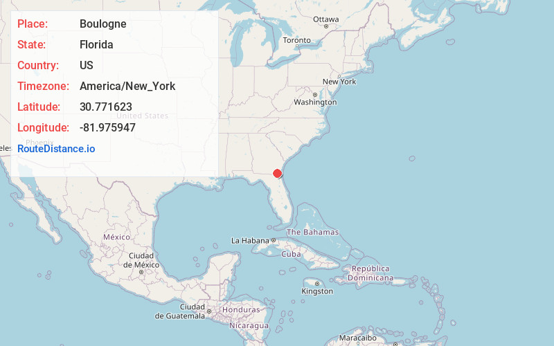
Full AddressBoulogne, FL 32046
-
Coordinates30.7716226, -81.9759471
-
LocationFlorida , US
-
TimezoneAmerica/New_York
-
Current Local Time11:14:54 PM America/New_YorkTuesday, June 17, 2025
-
Page Views0
About Boulogne
Boulogne is an unincorporated community in Nassau County, Florida, United States. Boulogne is located in the northern part of the county, near the St. Marys River. Highways passing through the town are US 1/US 23/US 301/State Road 15 and CR 121.


Nearby Places
Found 10 places within 50 miles

Folkston
4.5 mi
7.2 km
Folkston, GA 31537
Get directions

Colerain
6.2 mi
10.0 km
Colerain, GA 31537
Get directions
Homeland
6.4 mi
10.3 km
Homeland, GA 31537
Get directions

Hilliard
6.6 mi
10.6 km
Hilliard, FL
Get directions
Mattox
12.0 mi
19.3 km
Mattox, GA 31537
Get directions
Newell
12.1 mi
19.5 km
Newell, GA 31537
Get directions
Clarks Bluff
12.5 mi
20.1 km
Clarks Bluff, GA 31548
Get directions
Tompkins
14.6 mi
23.5 km
Tompkins, GA 31569
Get directions

Callahan
16.9 mi
27.2 km
Callahan, FL 32011
Get directions

Kingsland
17.1 mi
27.5 km
Kingsland, GA
Get directions
Location Links
Local Weather
Weather Information
Coming soon!
Location Map
Static map view of Boulogne, Florida
Browse Places by Distance
Places within specific distances from Boulogne
Short Distances
Long Distances
Click any distance to see all places within that range from Boulogne. Distances shown in miles (1 mile ≈ 1.61 kilometers).