Distance to Clarks Bluff, Georgia

Calculating Your Route
Just a moment while we process your request...
Location Information
-
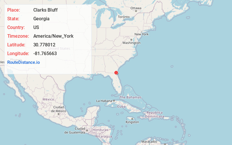
Full AddressClarks Bluff, GA 31548
-
Coordinates30.7780116, -81.7656626
-
LocationGeorgia , US
-
TimezoneAmerica/New_York
-
Current Local Time12:17:09 PM America/New_YorkTuesday, June 24, 2025
-
Page Views0
Nearby Places
Found 10 places within 50 miles

Kingsland
4.8 mi
7.7 km
Kingsland, GA
Get directions

Seals
7.5 mi
12.1 km
Seals, GA 31569
Get directions
Colerain
8.9 mi
14.3 km
Colerain, GA 31537
Get directions
Colesburg
10.5 mi
16.9 km
Colesburg, GA 31569
Get directions

Hilliard
10.8 mi
17.4 km
Hilliard, FL
Get directions

St Marys
11.8 mi
19.0 km
St Marys, GA
Get directions

Woodbine
12.8 mi
20.6 km
Woodbine, GA
Get directions

Yulee
13.8 mi
22.2 km
Yulee, FL
Get directions

Folkston
14.9 mi
24.0 km
Folkston, GA 31537
Get directions

Callahan
15.4 mi
24.8 km
Callahan, FL 32011
Get directions
Location Links
Local Weather
Weather Information
Coming soon!
Location Map
Static map view of Clarks Bluff, Georgia
Browse Places by Distance
Places within specific distances from Clarks Bluff
Short Distances
Long Distances
Click any distance to see all places within that range from Clarks Bluff. Distances shown in miles (1 mile ≈ 1.61 kilometers).