Distance to Bowden, West Virginia

Calculating Your Route
Just a moment while we process your request...
Location Information
-
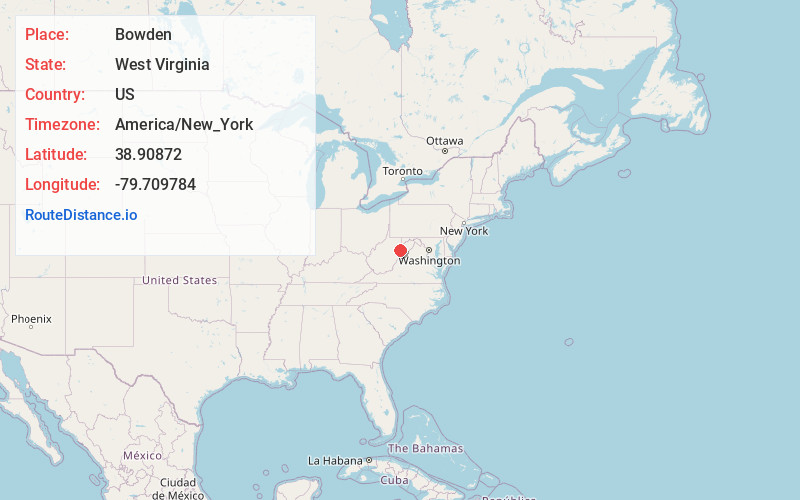
Full AddressBowden, WV 26241
-
Coordinates38.9087197, -79.7097836
-
LocationBowden , West Virginia , US
-
TimezoneAmerica/New_York
-
Current Local Time4:58:10 PM America/New_YorkWednesday, June 18, 2025
-
Page Views0
About Bowden
Bowden is a census-designated place in Randolph County, West Virginia, United States. Bowden is located on U.S. Route 33, 7.5 miles east of Elkins. Bowden has a post office with ZIP code 26254. According to the 2010 Census, there were nine people residing at this location.

Nearby Places
Found 10 places within 50 miles

Elkins
7.5 mi
12.1 km
Elkins, WV 26241
Get directions

Harman
10.0 mi
16.1 km
Harman, WV 26270
Get directions

Beverly
10.1 mi
16.3 km
Beverly, WV
Get directions

Whitmer
10.9 mi
17.5 km
Whitmer, WV 26296
Get directions

Hendricks
12.3 mi
19.8 km
Hendricks, WV
Get directions

Montrose
12.3 mi
19.8 km
Montrose, WV 26283
Get directions

Hambleton
12.5 mi
20.1 km
Hambleton, WV
Get directions

Parsons
13.1 mi
21.1 km
Parsons, WV
Get directions
Junior
13.8 mi
22.2 km
Junior, WV
Get directions

Norton
13.8 mi
22.2 km
Norton, WV
Get directions
Location Links
Local Weather
Weather Information
Coming soon!
Location Map
Static map view of Bowden, West Virginia
Browse Places by Distance
Places within specific distances from Bowden
Short Distances
Long Distances
Click any distance to see all places within that range from Bowden. Distances shown in miles (1 mile ≈ 1.61 kilometers).