Distance to Bowersville, Georgia

Calculating Your Route
Just a moment while we process your request...
Location Information
-
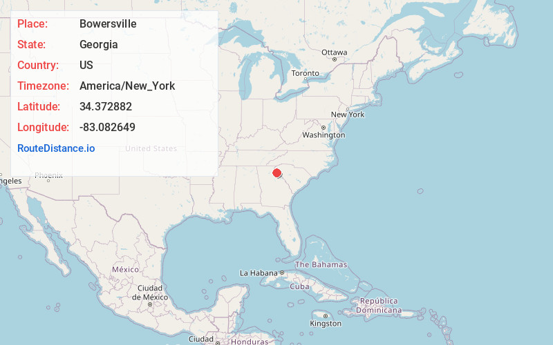
Full AddressBowersville, GA
-
Coordinates34.3728819, -83.0826491
-
LocationBowersville , Georgia , US
-
TimezoneAmerica/New_York
-
Current Local Time8:23:46 PM America/New_YorkMonday, June 2, 2025
-
Page Views0
About Bowersville
Bowersville is a town in Hart County, Georgia, United States. As of the 2020 census, the town had a population of 444.


Nearby Places
Found 10 places within 50 miles

Canon
2.4 mi
3.9 km
Canon, GA 30520
Get directions

Lavonia
4.6 mi
7.4 km
Lavonia, GA 30553
Get directions

Royston
6.1 mi
9.8 km
Royston, GA 30662
Get directions

Franklin Springs
7.0 mi
11.3 km
Franklin Springs, GA 30662
Get directions

Hartwell
8.7 mi
14.0 km
Hartwell, GA 30643
Get directions

Carnesville
8.7 mi
14.0 km
Carnesville, GA 30521
Get directions

Gumlog
9.1 mi
14.6 km
Gumlog, GA
Get directions

Reed Creek
10.6 mi
17.1 km
Reed Creek, GA
Get directions

Fair Play
11.1 mi
17.9 km
Fair Play, SC 29643
Get directions

Bowman
12.0 mi
19.3 km
Bowman, GA 30624
Get directions
Location Links
Local Weather
Weather Information
Coming soon!
Location Map
Static map view of Bowersville, Georgia
Browse Places by Distance
Places within specific distances from Bowersville
Short Distances
Long Distances
Click any distance to see all places within that range from Bowersville. Distances shown in miles (1 mile ≈ 1.61 kilometers).