Distance to Bowie, Maryland

Calculating Your Route
Just a moment while we process your request...
Location Information
-
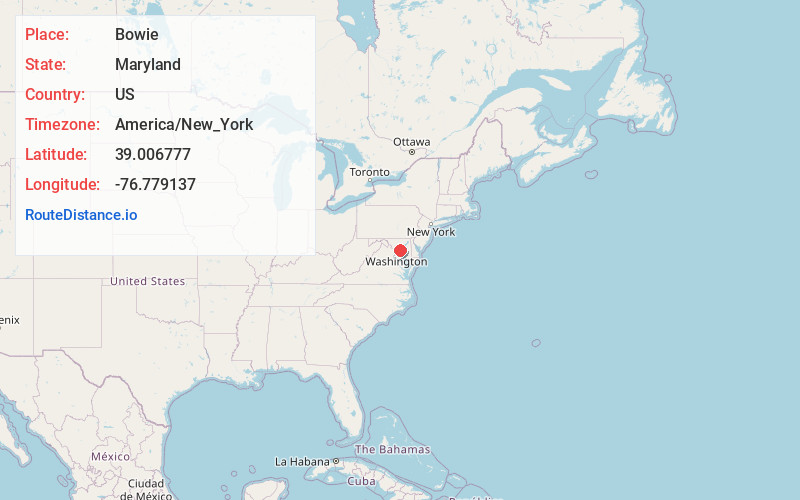
Full AddressBowie, MD
-
Coordinates39.0067768, -76.7791365
-
LocationBowie , Maryland , US
-
TimezoneAmerica/New_York
-
Current Local Time12:02:46 AM America/New_YorkFriday, June 20, 2025
-
Website
-
Page Views0
About Bowie
Bowie is a city in Prince George's County, Maryland, United States. Per the 2020 census, the population was 58,329. Bowie has grown from a small railroad stop to the largest municipality in Prince George's County; it is also the fifth most populous city and third largest city by area in the U.S. state of Maryland.


Nearby Places
Found 10 places within 50 miles

Severn
10.0 mi
16.1 km
Severn, MD
Get directions

Silver Spring
13.3 mi
21.4 km
Silver Spring, MD
Get directions

Glen Burnie
13.7 mi
22.0 km
Glen Burnie, MD
Get directions

Columbia
14.3 mi
23.0 km
Columbia, MD
Get directions

Washington
15.5 mi
24.9 km
Washington, DC
Get directions

Aspen Hill
16.6 mi
26.7 km
Aspen Hill, MD
Get directions

Bethesda
17.0 mi
27.4 km
Bethesda, MD
Get directions

Ellicott City
18.0 mi
29.0 km
Ellicott City, MD
Get directions

Arlington National Cemetery
18.1 mi
29.1 km
Arlington National Cemetery, Arlington, VA
Get directions

Alexandria
19.9 mi
32.0 km
Alexandria, VA
Get directions
Location Links
Local Weather
Weather Information
Coming soon!
Location Map
Static map view of Bowie, Maryland
Browse Places by Distance
Places within specific distances from Bowie
Short Distances
Long Distances
Click any distance to see all places within that range from Bowie. Distances shown in miles (1 mile ≈ 1.61 kilometers).