Distance to Bowlens Creek, North Carolina

Calculating Your Route
Just a moment while we process your request...
Location Information
-
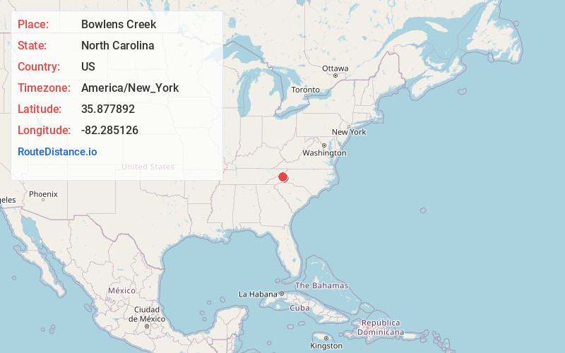
Full AddressBowlens Creek, NC 28714
-
Coordinates35.8778924, -82.285126
-
LocationNorth Carolina , US
-
TimezoneAmerica/New_York
-
Current Local Time2:24:52 PM America/New_YorkTuesday, June 17, 2025
-
Page Views0
Nearby Places
Found 10 places within 50 miles

Burnsville
2.9 mi
4.7 km
Burnsville, NC 28714
Get directions

Windom
3.3 mi
5.3 km
Windom, NC 28714
Get directions
Murchison
3.7 mi
6.0 km
Murchison, NC 28714
Get directions
Bowditch
3.9 mi
6.3 km
Bowditch, NC 28714
Get directions

Micaville
4.6 mi
7.4 km
Micaville, NC 28714
Get directions
Price Creek
5.6 mi
9.0 km
Price Creek, NC 28714
Get directions
Newdale
5.8 mi
9.3 km
Newdale, NC 28714
Get directions
Eskota
5.8 mi
9.3 km
Eskota, NC 28714
Get directions
Blue Rock
6.0 mi
9.7 km
Blue Rock, NC 28714
Get directions
Day Book
7.1 mi
11.4 km
Day Book, NC 28714
Get directions
Location Links
Local Weather
Weather Information
Coming soon!
Location Map
Static map view of Bowlens Creek, North Carolina
Browse Places by Distance
Places within specific distances from Bowlens Creek
Short Distances
Long Distances
Click any distance to see all places within that range from Bowlens Creek. Distances shown in miles (1 mile ≈ 1.61 kilometers).