Distance to and from Burnsville, North Carolina
Burnsville, NC 28714
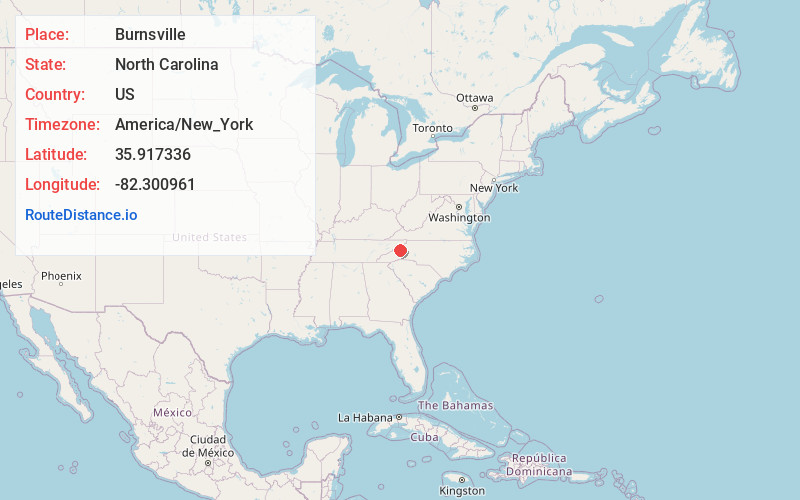
Burnsville
North Carolina
US
America/New_York
Location Information
-
Full AddressBurnsville, NC 28714
-
Coordinates35.9173357, -82.300961
-
LocationBurnsville , North Carolina , US
-
TimezoneAmerica/New_York
-
Current Local Time10:36:42 PM America/New_YorkSaturday, May 3, 2025
-
Website
-
Page Views0
Directions to Nearest Cities
About Burnsville
Burnsville is a town that serves as the county seat of Yancey County, North Carolina, United States. Located in the Blue Ridge Mountains of western North Carolina, sits in the shadow of Mount Mitchell, the highest peak in the Eastern Continental United States. The population was 1,612 at the 2020 census.


Nearby Places
Found 10 places within 50 miles

Spruce Pine
13.2 mi
21.2 km
Spruce Pine, NC 28777
Get directions

Mars Hill
15.3 mi
24.6 km
Mars Hill, NC 28754
Get directions

Erwin
17.0 mi
27.4 km
Erwin, TN 37650
Get directions

Unicoi
19.4 mi
31.2 km
Unicoi, TN
Get directions

Black Mountain
20.7 mi
33.3 km
Black Mountain, NC 28711
Get directions

Weaverville
21.1 mi
34.0 km
Weaverville, NC
Get directions

Swannanoa
22.5 mi
36.2 km
Swannanoa, NC 28778
Get directions

Marion
23.0 mi
37.0 km
Marion, NC 28752
Get directions

Woodfin
25.2 mi
40.6 km
Woodfin, NC
Get directions

Asheville
26.0 mi
41.8 km
Asheville, NC
Get directions
Spruce Pine
13.2 mi
21.2 km
Spruce Pine, NC 28777
Mars Hill
15.3 mi
24.6 km
Mars Hill, NC 28754
Erwin
17.0 mi
27.4 km
Erwin, TN 37650
Unicoi
19.4 mi
31.2 km
Unicoi, TN
Black Mountain
20.7 mi
33.3 km
Black Mountain, NC 28711
Weaverville
21.1 mi
34.0 km
Weaverville, NC
Swannanoa
22.5 mi
36.2 km
Swannanoa, NC 28778
Marion
23.0 mi
37.0 km
Marion, NC 28752
Woodfin
25.2 mi
40.6 km
Woodfin, NC
Asheville
26.0 mi
41.8 km
Asheville, NC
Location Links
Local Weather
Weather Information
Coming soon!
Location Map
Static map view of Burnsville, North Carolina
Browse Places by Distance
Places within specific distances from Burnsville
Short Distances
Long Distances
Click any distance to see all places within that range from Burnsville. Distances shown in miles (1 mile ≈ 1.61 kilometers).