Distance to Boyd, Arkansas

Calculating Your Route
Just a moment while we process your request...
Location Information
-
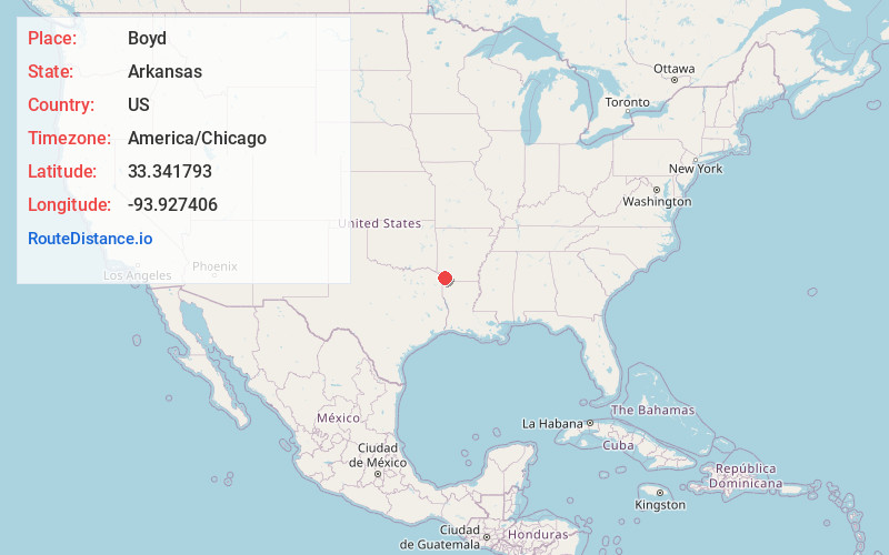
Full AddressBoyd, AR 71837
-
Coordinates33.3417934, -93.9274056
-
LocationArkansas , US
-
TimezoneAmerica/Chicago
-
Current Local Time12:47:41 PM America/ChicagoTuesday, July 1, 2025
-
Page Views0
About Boyd
Boyd is an unincorporated community in Miller County, Arkansas, United States. Boyd is located 8.8 miles southeast of Texarkana.
Nearby Places
Found 10 places within 50 miles

Genoa
3.7 mi
6.0 km
Genoa, AR
Get directions

Fouke
5.8 mi
9.3 km
Fouke, AR 71837
Get directions

Miller County
6.9 mi
11.1 km
Miller County, AR
Get directions

Hoot
7.0 mi
11.3 km
Hoot, TX 75501
Get directions
Rocky Mound
8.1 mi
13.0 km
Rocky Mound, AR 71837
Get directions

Texarkana
8.8 mi
14.2 km
Texarkana, AR 71854
Get directions

Texarkana
9.0 mi
14.5 km
Texarkana, TX
Get directions
Mayton
11.3 mi
18.2 km
Mayton, AR 71854
Get directions

Wake Village
11.9 mi
19.2 km
Wake Village, TX
Get directions
Domino
12.3 mi
19.8 km
Domino, TX 75572
Get directions
Location Links
Local Weather
Weather Information
Coming soon!
Location Map
Static map view of Boyd, Arkansas
Browse Places by Distance
Places within specific distances from Boyd
Short Distances
Long Distances
Click any distance to see all places within that range from Boyd. Distances shown in miles (1 mile ≈ 1.61 kilometers).