Distance to Boyds, Washington

Calculating Your Route
Just a moment while we process your request...
Location Information
-
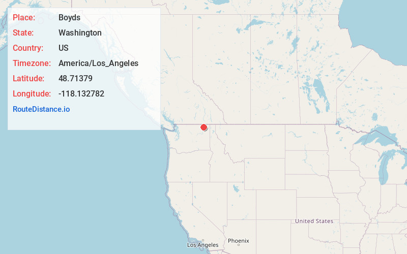
Full AddressBoyds, WA 99141
-
Coordinates48.7137901, -118.1327818
-
LocationBoyds , Washington , US
-
TimezoneAmerica/Los_Angeles
-
Current Local Time11:24:27 PM America/Los_AngelesMonday, June 16, 2025
-
Page Views0
About Boyds
Boyds is an unincorporated community and census-designated place in Ferry County, Washington, United States. Boyds is located along U.S. Route 395 at the north end of the Lake Roosevelt National Recreation Area on the west side of the Kettle River, which serves as a boundary with Stevens County.


Nearby Places
Found 10 places within 50 miles

Barstow
4.5 mi
7.2 km
Barstow, WA 99141
Get directions

Marcus
4.6 mi
7.4 km
Marcus, WA
Get directions

Kettle Falls
7.9 mi
12.7 km
Kettle Falls, WA 99141
Get directions

Orient
11.0 mi
17.7 km
Orient, WA
Get directions

Colville
15.8 mi
25.4 km
Colville, WA 99114
Get directions

Northport
21.2 mi
34.1 km
Northport, WA
Get directions

Torboy
24.0 mi
38.6 km
Torboy, WA 99166
Get directions

Curlew
24.3 mi
39.1 km
Curlew, WA
Get directions

Curlew Lake
24.4 mi
39.3 km
Curlew Lake, WA 99166
Get directions
Danville
25.7 mi
41.4 km
Danville, WA 99121
Get directions
Location Links
Local Weather
Weather Information
Coming soon!
Location Map
Static map view of Boyds, Washington
Browse Places by Distance
Places within specific distances from Boyds
Short Distances
Long Distances
Click any distance to see all places within that range from Boyds. Distances shown in miles (1 mile ≈ 1.61 kilometers).