Distance to Curlew, Washington

Calculating Your Route
Just a moment while we process your request...
Location Information
-
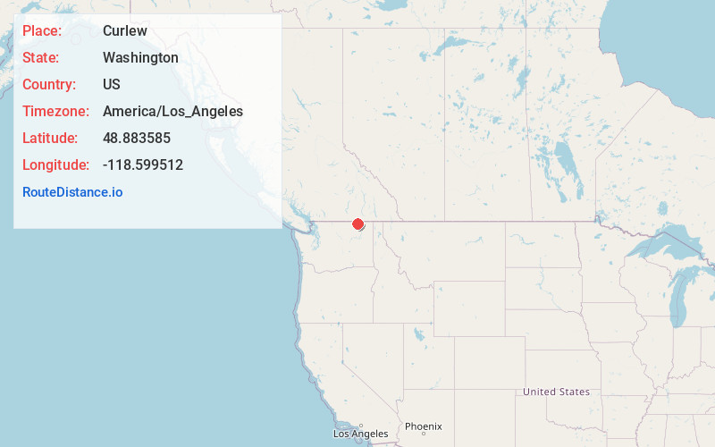
Full AddressCurlew, WA
-
Coordinates48.8835848, -118.5995124
-
LocationCurlew , Washington , US
-
TimezoneAmerica/Los_Angeles
-
Current Local Time12:20:42 PM America/Los_AngelesSaturday, June 21, 2025
-
Page Views0
About Curlew
Curlew is an unincorporated community and census-designated place located in northwestern Ferry County, Washington, United States, between Malo and Danville on State Route 21. The BNSF Railway ran through the town. The historic Ansorge Hotel is located in Curlew.


Nearby Places
Found 10 places within 50 miles

Curlew Lake
10.2 mi
16.4 km
Curlew Lake, WA 99166
Get directions

Torboy
14.3 mi
23.0 km
Torboy, WA 99166
Get directions

Republic
17.4 mi
28.0 km
Republic, WA 99166
Get directions

Marcus
28.6 mi
46.0 km
Marcus, WA
Get directions

Kettle Falls
31.1 mi
50.1 km
Kettle Falls, WA 99141
Get directions

Northport
37.2 mi
59.9 km
Northport, WA
Get directions

Oroville
38.1 mi
61.3 km
Oroville, WA 98844
Get directions

Colville
39.5 mi
63.6 km
Colville, WA 99114
Get directions

Tonasket
40.2 mi
64.7 km
Tonasket, WA 98855
Get directions

Inchelium
44.5 mi
71.6 km
Inchelium, WA 99138
Get directions
Location Links
Local Weather
Weather Information
Coming soon!
Location Map
Static map view of Curlew, Washington
Browse Places by Distance
Places within specific distances from Curlew
Short Distances
Long Distances
Click any distance to see all places within that range from Curlew. Distances shown in miles (1 mile ≈ 1.61 kilometers).