Distance to Republic, Washington

Calculating Your Route
Just a moment while we process your request...
Location Information
-
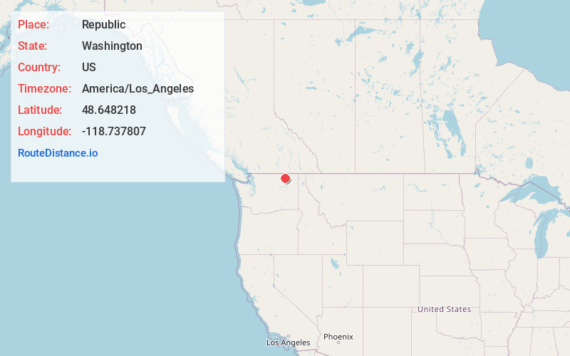
Full AddressRepublic, WA 99166
-
Coordinates48.6482183, -118.7378067
-
LocationRepublic , Washington , US
-
TimezoneAmerica/Los_Angeles
-
Current Local Time11:15:30 PM America/Los_AngelesFriday, May 23, 2025
-
Page Views0
About Republic
Republic is a city in Ferry County, Washington, United States. The population was 992 at the 2020 census. It is the county seat of Ferry County. It was the largest mining camp in the Republic Mining District, and home to the "Hot Air Line" railway.


Nearby Places
Found 6 places within 50 miles

Kettle Falls
31.3 mi
50.4 km
Kettle Falls, WA 99141
Get directions

Oroville
37.6 mi
60.5 km
Oroville, WA 98844
Get directions

Colville
38.9 mi
62.6 km
Colville, WA 99114
Get directions

Omak
39.7 mi
63.9 km
Omak, WA
Get directions

Okanogan
43.5 mi
70.0 km
Okanogan, WA 98840
Get directions

Coulee Dam
48.2 mi
77.6 km
Coulee Dam, WA
Get directions
Location Links
Local Weather
Weather Information
Coming soon!
Location Map
Static map view of Republic, Washington
Browse Places by Distance
Places within specific distances from Republic
Short Distances
Long Distances
Click any distance to see all places within that range from Republic. Distances shown in miles (1 mile ≈ 1.61 kilometers).