Distance to Boykin, South Carolina

Calculating Your Route
Just a moment while we process your request...
Location Information
-
Full AddressBoykin, SC 29128
-
Coordinates34.116819, -80.5814709
-
LocationBoykin , South Carolina , US
-
TimezoneAmerica/New_York
-
Current Local Time9:36:02 PM America/New_YorkTuesday, May 27, 2025
-
Page Views0
About Boykin
Boykin is a census-designated place and unincorporated community in Kershaw County, South Carolina, United States. Its population was 100 as of the 2010 census. Boykin is located on South Carolina Highway 261, 9 miles south of Camden. It is named for John Boykin, an early resident.
Nearby Places
Found 10 places within 50 miles

Rembert
3.1 mi
5.0 km
Rembert, SC 29128
Get directions

Camden
9.1 mi
14.6 km
Camden, SC 29020
Get directions

Lugoff
9.8 mi
15.8 km
Lugoff, SC
Get directions

Oakland
10.1 mi
16.3 km
Oakland, SC
Get directions

Dalzell
11.1 mi
17.9 km
Dalzell, SC
Get directions

Stateburg
11.3 mi
18.2 km
Stateburg, SC
Get directions

Elgin
12.7 mi
20.4 km
Elgin, SC 29045
Get directions
Cherryvale
13.2 mi
21.2 km
Cherryvale, SC 29154
Get directions
Manville
16.1 mi
25.9 km
Manville, SC 29010
Get directions
Wedgefield
16.5 mi
26.6 km
Wedgefield, SC 29168
Get directions
Location Links
Local Weather
Weather Information
Coming soon!
Location Map
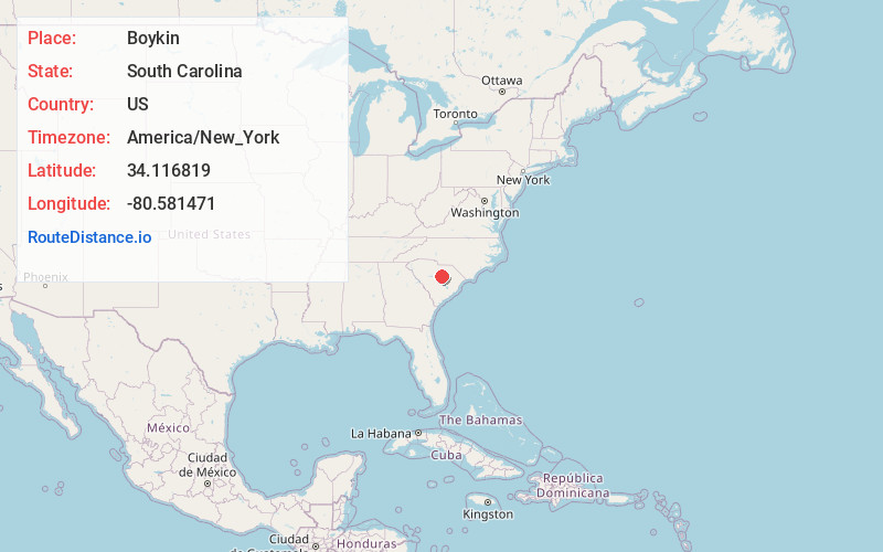
Static map view of Boykin, South Carolina
Browse Places by Distance
Places within specific distances from Boykin
Short Distances
Long Distances
Click any distance to see all places within that range from Boykin. Distances shown in miles (1 mile ≈ 1.61 kilometers).