Distance to Boynton Beach, Florida

Calculating Your Route
Just a moment while we process your request...
Location Information
-
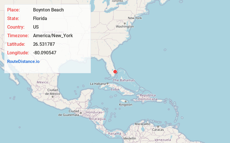
Full AddressBoynton Beach, FL
-
Coordinates26.5317866, -80.0905465
-
LocationBoynton Beach , Florida , US
-
TimezoneAmerica/New_York
-
Current Local Time5:11:26 PM America/New_YorkTuesday, June 17, 2025
-
Website
-
Page Views0
About Boynton Beach
Boynton Beach is a city in Palm Beach County, Florida, United States. It is situated about 57 miles north of Miami. The 2020 census recorded a population of 80,380. Boynton Beach is located in the Miami metropolitan area, which was home to 6,138,333 people at the 2020 census.


Nearby Places
Found 10 places within 50 miles

Boca Raton
11.5 mi
18.5 km
Boca Raton, FL
Get directions

Pompano Beach
20.9 mi
33.6 km
Pompano Beach, FL
Get directions

Coral Springs
21.2 mi
34.1 km
Coral Springs, FL
Get directions

Sunrise
27.2 mi
43.8 km
Sunrise, FL
Get directions

Fort Lauderdale
28.4 mi
45.7 km
Fort Lauderdale, FL
Get directions

Plantation
29.3 mi
47.2 km
Plantation, FL
Get directions

Davie
33.0 mi
53.1 km
Davie, FL
Get directions

Hollywood
36.3 mi
58.4 km
Hollywood, FL
Get directions

Pembroke Pines
38.4 mi
61.8 km
Pembroke Pines, FL
Get directions

Miramar
40.0 mi
64.4 km
Miramar, FL
Get directions
Location Links
Local Weather
Weather Information
Coming soon!
Location Map
Static map view of Boynton Beach, Florida
Browse Places by Distance
Places within specific distances from Boynton Beach
Short Distances
Long Distances
Click any distance to see all places within that range from Boynton Beach. Distances shown in miles (1 mile ≈ 1.61 kilometers).