Distance to Brainardsville, New York

Calculating Your Route
Just a moment while we process your request...
Location Information
-
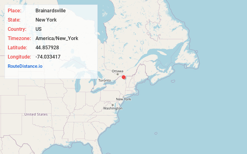
Full AddressBrainardsville, NY 12920
-
Coordinates44.8579284, -74.0334168
-
LocationBrainardsville , New York , US
-
TimezoneAmerica/New_York
-
Current Local Time6:09:25 PM America/New_YorkMonday, June 16, 2025
-
Page Views0
About Brainardsville
Brainardsville is a hamlet in Franklin County, New York, United States. The community is located at the intersection of New York State Route 190 and New York State Route 374, 5.3 miles south-southeast of Chateaugay. Brainardsville has a post office with ZIP code 12915.
Nearby Places
Found 10 places within 50 miles

Harrigan
3.3 mi
5.3 km
Harrigan, NY 12934
Get directions

Chateaugay
5.3 mi
8.5 km
Chateaugay, NY
Get directions

Bellmont
8.2 mi
13.2 km
Bellmont, NY
Get directions
Ellenburg
10.0 mi
16.1 km
Ellenburg, NY 12934
Get directions
Clinton Mills
10.3 mi
16.6 km
Clinton Mills, NY 12923
Get directions
Teboville
10.9 mi
17.5 km
Teboville, NY 12953
Get directions

Lyon Mountain
11.0 mi
17.7 km
Lyon Mountain, NY
Get directions
Whippleville
11.7 mi
18.8 km
Whippleville, NY 12953
Get directions

Standish
12.4 mi
20.0 km
Standish, NY 12952
Get directions
Bryants Mill
12.5 mi
20.1 km
Bryants Mill, NY 12969
Get directions
Location Links
Local Weather
Weather Information
Coming soon!
Location Map
Static map view of Brainardsville, New York
Browse Places by Distance
Places within specific distances from Brainardsville
Short Distances
Long Distances
Click any distance to see all places within that range from Brainardsville. Distances shown in miles (1 mile ≈ 1.61 kilometers).