Distance to Branchville, Connecticut

Calculating Your Route
Just a moment while we process your request...
Location Information
-
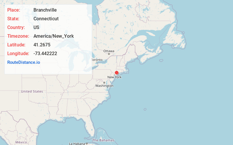
Full AddressBranchville, Ridgefield, CT 06877
-
Coordinates41.2675, -73.442222
-
NeighborhoodBranchville
-
LocationRidgefield , Connecticut , US
-
TimezoneAmerica/New_York
-
Current Local Time2:04:06 PM America/New_YorkTuesday, June 10, 2025
-
Page Views0
About Branchville
Branchville is a neighborhood of the town of Ridgefield in Fairfield County, Connecticut, United States, and is also the name of a Metro North railroad station. Branchville was listed as a census-designated place prior to the 2020 census.

Nearby Places
Found 10 places within 50 miles

Redding
3.6 mi
5.8 km
Redding, CT 06896
Get directions

Lewisboro
4.6 mi
7.4 km
Lewisboro, NY 10590
Get directions

Weston
5.6 mi
9.0 km
Weston, CT 06883
Get directions

Scotts Corners
7.8 mi
12.6 km
Scotts Corners, NY 10576
Get directions

Pound Ridge
8.0 mi
12.9 km
Pound Ridge, NY 10576
Get directions
Poplar Plains Brook
8.1 mi
13.0 km
Poplar Plains Brook, Westport, CT 06880
Get directions

North Salem
8.2 mi
13.2 km
North Salem, NY 10560
Get directions
Mill Plain Swamp
8.2 mi
13.2 km
Mill Plain Swamp, Danbury, CT 06810
Get directions

Danbury
8.7 mi
14.0 km
Danbury, CT
Get directions

New Canaan
8.8 mi
14.2 km
New Canaan, CT 06840
Get directions
Location Links
Local Weather
Weather Information
Coming soon!
Location Map
Static map view of Branchville, Connecticut
Browse Places by Distance
Places within specific distances from Branchville
Short Distances
Long Distances
Click any distance to see all places within that range from Branchville. Distances shown in miles (1 mile ≈ 1.61 kilometers).