Distance to Brandon Twp, Michigan

Calculating Your Route
Just a moment while we process your request...
Location Information
-
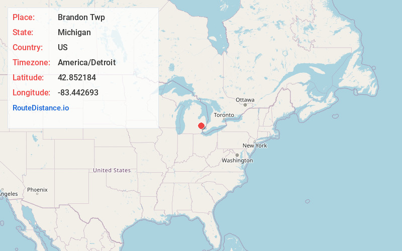
Full AddressBrandon Twp, MI
-
Coordinates42.8521835, -83.4426926
-
LocationBrandon Twp , Michigan , US
-
TimezoneAmerica/Detroit
-
Current Local Time10:29:24 PM America/DetroitWednesday, June 18, 2025
-
Page Views0
About Brandon Twp
Brandon Charter Township is a charter township of Oakland County in the U.S. state of Michigan. The population was 15,384 at the 2020 census.
As a northern suburb of Metro Detroit, Brandon Township is about 30 miles north of the city of Detroit and about 20 miles southeast of Flint.


Nearby Places
Found 10 places within 50 miles
Ortonville
0.0 mi
0.0 km
Ortonville, MI 48462
Get directions

Brandon Gardens
1.8 mi
2.9 km
Brandon Gardens, Brandon Twp, MI 48462
Get directions
Perry Lake Heights
2.7 mi
4.3 km
Perry Lake Heights, Brandon Twp, MI 48462
Get directions
Kerr Hill
3.8 mi
6.1 km
Kerr Hill, Hadley Township, MI 48438
Get directions

Goodrich
5.5 mi
8.9 km
Goodrich, MI 48438
Get directions
Jossman Acres
6.2 mi
10.0 km
Jossman Acres, Springfield Township, MI 48348
Get directions
Atlas Township
7.1 mi
11.4 km
Atlas Township, MI
Get directions
Hadley
7.3 mi
11.7 km
Hadley, MI 48455
Get directions
Walters
8.0 mi
12.9 km
Walters, Independence Township, MI 48348
Get directions

Village of Clarkston
8.2 mi
13.2 km
Village of Clarkston, MI 48346
Get directions
Location Links
Local Weather
Weather Information
Coming soon!
Location Map
Static map view of Brandon Twp, Michigan
Browse Places by Distance
Places within specific distances from Brandon Twp
Short Distances
Long Distances
Click any distance to see all places within that range from Brandon Twp. Distances shown in miles (1 mile ≈ 1.61 kilometers).