Distance to Ortonville, Michigan

Calculating Your Route
Just a moment while we process your request...
Location Information
-
Full AddressOrtonville, MI 48462
-
Coordinates42.8521779, -83.4427162
-
LocationOrtonville , Michigan , US
-
TimezoneAmerica/Detroit
-
Current Local Time7:20:32 AM America/DetroitThursday, June 5, 2025
-
Website
-
Page Views0
About Ortonville
Ortonville is a village in north Oakland County in the U.S. state of Michigan. The village is within Brandon Township, although some development near the village lies within adjacent Oakland County, Groveland township and Lapeer County, Hadley township. The population was 1,291 as of the 2021 Census estimate.


Nearby Places
Found 10 places within 50 miles

Goodrich
5.5 mi
8.9 km
Goodrich, MI 48438
Get directions

Oxford
9.2 mi
14.8 km
Oxford, MI 48371
Get directions

Holly
10.3 mi
16.6 km
Holly, MI 48442
Get directions

Grand Blanc
10.8 mi
17.4 km
Grand Blanc, MI 48439
Get directions

Lake Orion
11.4 mi
18.3 km
Lake Orion, MI 48362
Get directions

Davison
13.2 mi
21.2 km
Davison, MI 48423
Get directions

Lake Fenton
13.2 mi
21.2 km
Lake Fenton, MI 48430
Get directions

Burton
13.4 mi
21.6 km
Burton, MI
Get directions

Fenton
13.8 mi
22.2 km
Fenton, MI
Get directions

Lapeer
15.1 mi
24.3 km
Lapeer, MI 48446
Get directions
Location Links
Local Weather
Weather Information
Coming soon!
Location Map
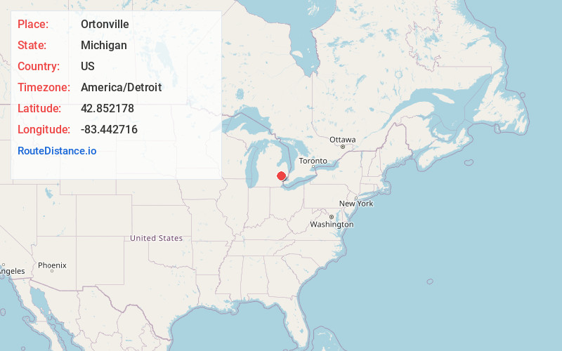
Static map view of Ortonville, Michigan
Browse Places by Distance
Places within specific distances from Ortonville
Short Distances
Long Distances
Click any distance to see all places within that range from Ortonville. Distances shown in miles (1 mile ≈ 1.61 kilometers).