Distance to Oxford, Michigan

Calculating Your Route
Just a moment while we process your request...
Location Information
-
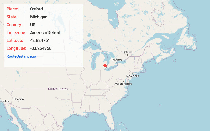
Full AddressOxford, MI 48371
-
Coordinates42.8247607, -83.2649576
-
LocationOxford , Michigan , US
-
TimezoneAmerica/Detroit
-
Current Local Time11:07:50 AM America/DetroitThursday, June 5, 2025
-
Page Views0
About Oxford
Oxford is a village in Oakland County in the U.S. state of Michigan. The population was 3,436 at the 2010 census. The village is located within Oxford Township. Located about 30 miles north of Detroit, it is a northern suburb of the Metro Detroit region.


Nearby Places
Found 10 places within 50 miles

Auburn Hills
9.6 mi
15.4 km
Auburn Hills, MI
Get directions

Romeo
12.9 mi
20.8 km
Romeo, MI
Get directions

Rochester Hills
12.9 mi
20.8 km
Rochester Hills, MI
Get directions

Pontiac
12.9 mi
20.8 km
Pontiac, MI
Get directions

Lapeer
15.9 mi
25.6 km
Lapeer, MI 48446
Get directions

Troy
16.2 mi
26.1 km
Troy, MI
Get directions

Imlay City
16.8 mi
27.0 km
Imlay City, MI 48444
Get directions

Utica
18.1 mi
29.1 km
Utica, MI
Get directions

Holly
18.5 mi
29.8 km
Holly, MI 48442
Get directions

Davison
19.4 mi
31.2 km
Davison, MI 48423
Get directions
Location Links
Local Weather
Weather Information
Coming soon!
Location Map
Static map view of Oxford, Michigan
Browse Places by Distance
Places within specific distances from Oxford
Short Distances
Long Distances
Click any distance to see all places within that range from Oxford. Distances shown in miles (1 mile ≈ 1.61 kilometers).