Distance to Utica, Michigan

Calculating Your Route
Just a moment while we process your request...
Location Information
-
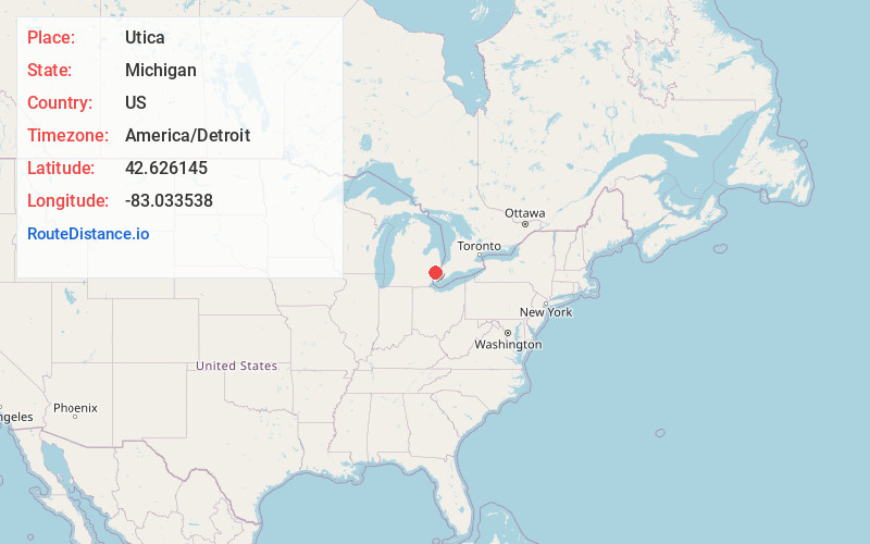
Full AddressUtica, MI
-
Coordinates42.6261446, -83.0335384
-
LocationUtica , Michigan , US
-
TimezoneAmerica/Detroit
-
Current Local Time3:33:02 AM America/DetroitSaturday, June 7, 2025
-
Page Views0
About Utica
Utica is a city in Macomb County in the U.S. state of Michigan. Its population was 5,245 at the 2020 census, up from 4,757 in 2010.


Nearby Places
Found 10 places within 50 miles

Sterling Heights
3.2 mi
5.1 km
Sterling Heights, MI
Get directions

Troy
6.1 mi
9.8 km
Troy, MI
Get directions

Rochester Hills
6.3 mi
10.1 km
Rochester Hills, MI
Get directions

Fraser
7.4 mi
11.9 km
Fraser, MI 48026
Get directions

Warren
7.8 mi
12.6 km
Warren, MI
Get directions

Mt Clemens
8.2 mi
13.2 km
Mt Clemens, MI
Get directions

Clawson
8.6 mi
13.8 km
Clawson, MI
Get directions

Center Line
9.8 mi
15.8 km
Center Line, MI
Get directions

Roseville
10.2 mi
16.4 km
Roseville, MI 48066
Get directions

Madison Heights
10.4 mi
16.7 km
Madison Heights, MI 48071
Get directions
Location Links
Local Weather
Weather Information
Coming soon!
Location Map
Static map view of Utica, Michigan
Browse Places by Distance
Places within specific distances from Utica
Short Distances
Long Distances
Click any distance to see all places within that range from Utica. Distances shown in miles (1 mile ≈ 1.61 kilometers).