Distance to Branson, Colorado

Calculating Your Route
Just a moment while we process your request...
Location Information
-
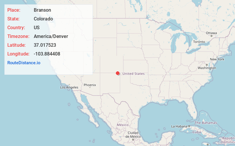
Full AddressBranson, CO 81027
-
Coordinates37.0175227, -103.8844083
-
LocationBranson , Colorado , US
-
TimezoneAmerica/Denver
-
Current Local Time11:18:10 AM America/DenverWednesday, June 18, 2025
-
Page Views0
About Branson
Branson is a statutory town located in Las Animas County, Colorado, United States. The town population was 57 at the 2020 United States census. Branson is the southernmost town in the State of Colorado, located just 0.3 miles from the New Mexico border.


Nearby Places
Found 10 places within 50 miles

Des Moines
17.9 mi
28.8 km
Des Moines, NM 88418
Get directions

Capulin
20.0 mi
32.2 km
Capulin, NM 88414
Get directions

Hoehne
32.9 mi
52.9 km
Hoehne, CO
Get directions

El Moro
35.0 mi
56.3 km
El Moro, CO 81082
Get directions

Trinidad
35.5 mi
57.1 km
Trinidad, CO 81082
Get directions

Starkville
35.9 mi
57.8 km
Starkville, CO 81082
Get directions
Jansen
37.2 mi
59.9 km
Jansen, CO 81082
Get directions

Cokedale
41.6 mi
66.9 km
Cokedale, CO 81082
Get directions
Segundo
48.6 mi
78.2 km
Segundo, CO 81082
Get directions

Maxwell
49.2 mi
79.2 km
Maxwell, NM 87728
Get directions
Location Links
Local Weather
Weather Information
Coming soon!
Location Map
Static map view of Branson, Colorado
Browse Places by Distance
Places within specific distances from Branson
Short Distances
Long Distances
Click any distance to see all places within that range from Branson. Distances shown in miles (1 mile ≈ 1.61 kilometers).