Distance to Maxwell, New Mexico

Calculating Your Route
Just a moment while we process your request...
Location Information
-
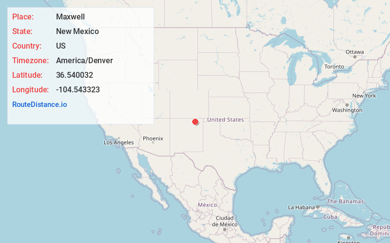
Full AddressMaxwell, NM 87728
-
Coordinates36.5400319, -104.5433229
-
LocationMaxwell , New Mexico , US
-
TimezoneAmerica/Denver
-
Current Local Time3:58:59 PM America/DenverWednesday, June 18, 2025
-
Page Views0
About Maxwell
Maxwell is a village in Colfax County, New Mexico, United States. The population was 254 at the 2010 census, down from 274 in 2000. Maxwell was established in 1879 as a railroad town on the Atchison, Topeka and Santa Fe Railway.


Nearby Places
Found 6 places within 50 miles

Springer
12.7 mi
20.4 km
Springer, NM 87747
Get directions

Cimarron
20.8 mi
33.5 km
Cimarron, NM 87714
Get directions

Wagon Mound
37.8 mi
60.8 km
Wagon Mound, NM 87752
Get directions

Angel Fire
42.4 mi
68.2 km
Angel Fire, NM
Get directions

Trinidad
43.6 mi
70.2 km
Trinidad, CO 81082
Get directions

Red River
49.2 mi
79.2 km
Red River, NM
Get directions
Location Links
Local Weather
Weather Information
Coming soon!
Location Map
Static map view of Maxwell, New Mexico
Browse Places by Distance
Places within specific distances from Maxwell
Short Distances
Long Distances
Click any distance to see all places within that range from Maxwell. Distances shown in miles (1 mile ≈ 1.61 kilometers).