Distance to Brashear, Texas

Calculating Your Route
Just a moment while we process your request...
Location Information
-
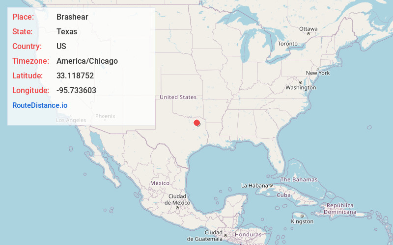
Full AddressBrashear, TX
-
Coordinates33.1187523, -95.7336025
-
LocationBrashear , Texas , US
-
TimezoneAmerica/Chicago
-
Current Local Time4:22:35 AM America/ChicagoSunday, June 1, 2025
-
Page Views0
About Brashear
Brashear is an unincorporated community located on Interstate Highway 30 and Farm to Market Road 2653 in west central Hopkins County, Texas, United States. Brashear has a post office, church, farm buildings, a radio building, and other buildings.

Nearby Places
Found 10 places within 50 miles

Cumby
6.3 mi
10.1 km
Cumby, TX 75433
Get directions

Sulphur Springs
7.8 mi
12.6 km
Sulphur Springs, TX 75482
Get directions

Emblem
9.1 mi
14.6 km
Emblem, TX 75482
Get directions
Martin Springs
10.0 mi
16.1 km
Martin Springs, TX 75482
Get directions

Arbala
10.2 mi
16.4 km
Arbala, TX 75497
Get directions

Campbell
12.8 mi
20.6 km
Campbell, TX
Get directions

Commerce
13.6 mi
21.9 km
Commerce, TX 75428
Get directions

Lone Oak
14.6 mi
23.5 km
Lone Oak, TX 75453
Get directions

Point
15.2 mi
24.5 km
Point, TX 75472
Get directions

Como
15.7 mi
25.3 km
Como, TX 75431
Get directions
Location Links
Local Weather
Weather Information
Coming soon!
Location Map
Static map view of Brashear, Texas
Browse Places by Distance
Places within specific distances from Brashear
Short Distances
Long Distances
Click any distance to see all places within that range from Brashear. Distances shown in miles (1 mile ≈ 1.61 kilometers).