Distance to Emblem, Texas

Calculating Your Route
Just a moment while we process your request...
Location Information
-
Full AddressEmblem, TX 75482
-
Coordinates33.247334, -95.7660719
-
LocationTexas , US
-
TimezoneAmerica/Chicago
-
Current Local Time2:22:13 AM America/ChicagoMonday, June 2, 2025
-
Page Views0
Nearby Places
Found 10 places within 50 miles

Commerce
8.4 mi
13.5 km
Commerce, TX 75428
Get directions

Yowell
8.7 mi
14.0 km
Yowell, TX 75428
Get directions

Cumby
8.7 mi
14.0 km
Cumby, TX 75433
Get directions

Cooper
9.8 mi
15.8 km
Cooper, TX 75432
Get directions
Rattan
11.6 mi
18.7 km
Rattan, TX 75432
Get directions
Fairlie
12.1 mi
19.5 km
Fairlie, TX 75428
Get directions

Sulphur Springs
12.2 mi
19.6 km
Sulphur Springs, TX 75482
Get directions
Tira
12.3 mi
19.8 km
Tira, TX 75482
Get directions

Campbell
12.7 mi
20.4 km
Campbell, TX
Get directions

Pecan Gap
13.9 mi
22.4 km
Pecan Gap, TX
Get directions
Location Links
Local Weather
Weather Information
Coming soon!
Location Map
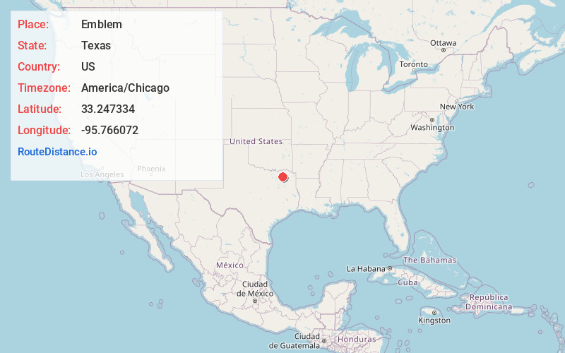
Static map view of Emblem, Texas
Browse Places by Distance
Places within specific distances from Emblem
Short Distances
Long Distances
Click any distance to see all places within that range from Emblem. Distances shown in miles (1 mile ≈ 1.61 kilometers).