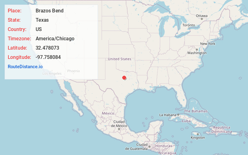
Distance to Brazos Bend, Texas

Calculating Your Route
Just a moment while we process your request...
Location Information
-
Full AddressBrazos Bend, TX
-
Coordinates32.478073, -97.758084
-
LocationBrazos Bend , Texas , US
-
TimezoneAmerica/Chicago
-
Current Local Time7:40:21 PM America/ChicagoWednesday, July 2, 2025
-
Page Views0
About Brazos Bend
Stockton Bend, formerly Brazos Bend, is a city in Hood County, Texas, United States. It was incorporated in May 2004 originally as "Brazos Bend", and is located along the main stem of the Brazos River. As of the 2020 census it had a population of 380.
Nearby Places
Found 10 places within 50 miles

Granbury
2.8 mi
4.5 km
Granbury, TX
Get directions

DeCordova
5.0 mi
8.0 km
DeCordova, TX 76049
Get directions

Cresson
9.0 mi
14.5 km
Cresson, TX
Get directions

Pecan Plantation
9.4 mi
15.1 km
Pecan Plantation, TX 76049
Get directions

Western Lake
10.1 mi
16.3 km
Western Lake, TX 76087
Get directions

Tolar
11.3 mi
18.2 km
Tolar, TX 76476
Get directions

Godley
13.6 mi
21.9 km
Godley, TX 76044
Get directions

Dennis
13.8 mi
22.2 km
Dennis, TX
Get directions

Annetta South
14.3 mi
23.0 km
Annetta South, TX 76008
Get directions

Annetta
16.7 mi
26.9 km
Annetta, TX 76008
Get directions
Location Links
Local Weather
Weather Information
Coming soon!
Location Map
Static map view of Brazos Bend, Texas
Browse Places by Distance
Places within specific distances from Brazos Bend
Short Distances
Long Distances
Click any distance to see all places within that range from Brazos Bend. Distances shown in miles (1 mile ≈ 1.61 kilometers).