Distance to DeCordova, Texas

Calculating Your Route
Just a moment while we process your request...
Location Information
-
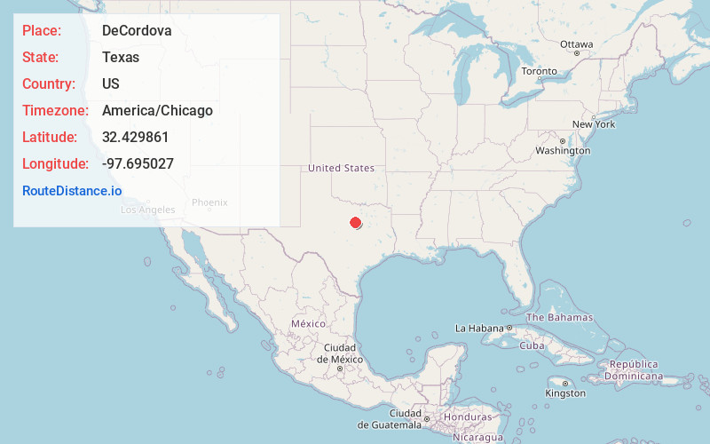
Full AddressDeCordova, TX 76049
-
Coordinates32.4298614, -97.6950267
-
LocationDeCordova , Texas , US
-
TimezoneAmerica/Chicago
-
Current Local Time1:13:34 AM America/ChicagoTuesday, June 3, 2025
-
Page Views0
About DeCordova
DeCordova is an unincorporated city in Hood County, Texas, United States. As of the US 2020 Census, it had a population of 3,007.
It is a gated residential community located on Lake Granbury, 6 miles east-southeast of Granbury, and is part of the Granbury, Texas Micropolitan Statistical Area.

Nearby Places
Found 10 places within 50 miles

Pecan Plantation
4.9 mi
7.9 km
Pecan Plantation, TX 76049
Get directions

Granbury
5.7 mi
9.2 km
Granbury, TX
Get directions

Joshua
18.0 mi
29.0 km
Joshua, TX
Get directions

Cleburne
18.9 mi
30.4 km
Cleburne, TX
Get directions

Aledo
19.2 mi
30.9 km
Aledo, TX 76008
Get directions

Annetta
19.3 mi
31.1 km
Annetta, TX 76008
Get directions

Benbrook
21.7 mi
34.9 km
Benbrook, TX
Get directions

Keene
21.8 mi
35.1 km
Keene, TX
Get directions

Crowley
21.9 mi
35.2 km
Crowley, TX 76036
Get directions

Burleson
23.0 mi
37.0 km
Burleson, TX
Get directions
Location Links
Local Weather
Weather Information
Coming soon!
Location Map
Static map view of DeCordova, Texas
Browse Places by Distance
Places within specific distances from DeCordova
Short Distances
Long Distances
Click any distance to see all places within that range from DeCordova. Distances shown in miles (1 mile ≈ 1.61 kilometers).