Distance to Bream, West Virginia

Calculating Your Route
Just a moment while we process your request...
Location Information
-
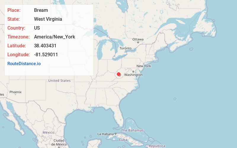
Full AddressBream, WV 25071
-
Coordinates38.403431, -81.529011
-
LocationBream , West Virginia , US
-
TimezoneAmerica/New_York
-
Current Local Time11:23:20 PM America/New_YorkSaturday, June 21, 2025
-
Page Views0
About Bream
Bream is an unincorporated community along Indian Creek Rd in Kanawha County, West Virginia, United States. It is the first community after State Route 114 turns across the Elk River to Big Chimney. Bream is located between Milliken and Pinch, and is usually omitted from the map, because of its size.
Nearby Places
Found 10 places within 50 miles

Big Chimney
0.4 mi
0.6 km
Big Chimney, WV
Get directions

Pinch
2.6 mi
4.2 km
Pinch, WV 25071
Get directions

Elkview
3.4 mi
5.5 km
Elkview, WV 25071
Get directions
Wills
4.1 mi
6.6 km
Wills, WV 25071
Get directions
Fivemile
4.9 mi
7.9 km
Fivemile, WV 25306
Get directions
Cinco
5.7 mi
9.2 km
Cinco, WV 25306
Get directions
Blackhawk
5.7 mi
9.2 km
Blackhawk, Charleston, WV 25311
Get directions

Coal Fork
5.9 mi
9.5 km
Coal Fork, WV 25306
Get directions

Charleston
6.7 mi
10.8 km
Charleston, WV
Get directions
Pentacre
6.9 mi
11.1 km
Pentacre, WV 25071
Get directions
Location Links
Local Weather
Weather Information
Coming soon!
Location Map
Static map view of Bream, West Virginia
Browse Places by Distance
Places within specific distances from Bream
Short Distances
Long Distances
Click any distance to see all places within that range from Bream. Distances shown in miles (1 mile ≈ 1.61 kilometers).