Distance to Briar, Missouri

Calculating Your Route
Just a moment while we process your request...
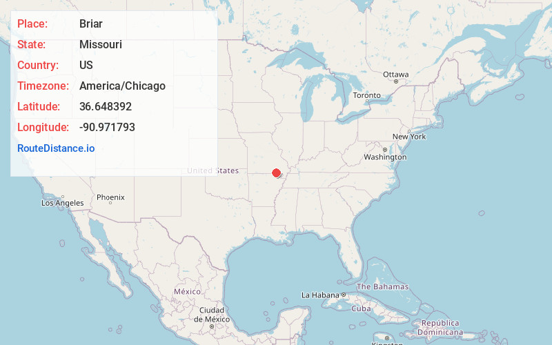
Location Information
-
Full AddressBriar, MO 63935
-
Coordinates36.6483917, -90.9717929
-
LocationBriar , Missouri , US
-
TimezoneAmerica/Chicago
-
Current Local Time2:26:46 PM America/ChicagoTuesday, June 24, 2025
-
Page Views0
About Briar
Briar is an unincorporated community in Ripley County, Missouri, United States. It is located on U.S. Route 160, approximately seven miles west of Doniphan.
A variant name was Briarcreek.

Nearby Places
Found 10 places within 50 miles

Ponder
4.6 mi
7.4 km
Ponder, Union Township, MO 63942
Get directions
Bennett
6.2 mi
10.0 km
Bennett, MO 63935
Get directions
Leibig
7.0 mi
11.3 km
Leibig, Union Township, MO 63942
Get directions
Tucker
8.1 mi
13.0 km
Tucker, Kelley Township, MO 63935
Get directions
Gatewood
8.2 mi
13.2 km
Gatewood, MO
Get directions

Doniphan
8.4 mi
13.5 km
Doniphan, MO 63935
Get directions
Ripley County
8.5 mi
13.7 km
Ripley County, MO
Get directions
Bardley
8.9 mi
14.3 km
Bardley, MO 63935
Get directions
Poynor
9.5 mi
15.3 km
Poynor, MO 63935
Get directions
Pleasant Grove
10.0 mi
16.1 km
Pleasant Grove, Jordan Township, MO 63943
Get directions
Location Links
Local Weather
Weather Information
Coming soon!
Location Map
Static map view of Briar, Missouri
Browse Places by Distance
Places within specific distances from Briar
Short Distances
Long Distances
Click any distance to see all places within that range from Briar. Distances shown in miles (1 mile ≈ 1.61 kilometers).