Distance to Ripley County, Missouri

Calculating Your Route
Just a moment while we process your request...
Location Information
-
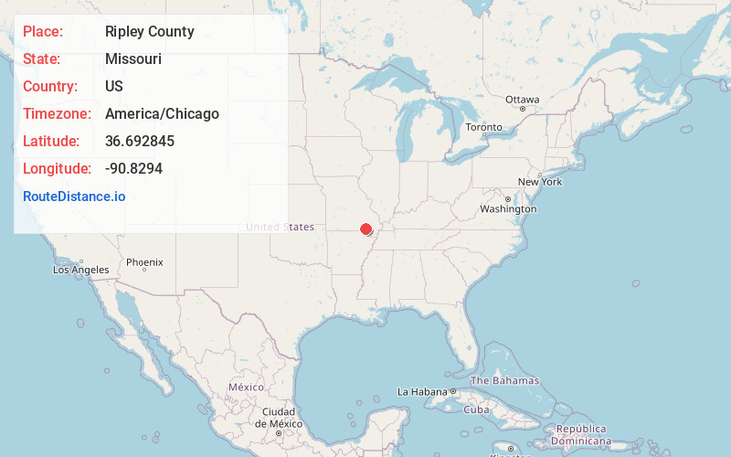
Full AddressRipley County, MO
-
Coordinates36.6928452, -90.8294002
-
LocationMissouri , US
-
TimezoneAmerica/Chicago
-
Current Local Time7:43:33 AM America/ChicagoTuesday, June 3, 2025
-
Page Views0
About Ripley County
Ripley County is a county in the Ozarks of Missouri. At the 2020 census, it had a population of 10,679. The largest city and county seat is Doniphan.
Nearby Places
Found 10 places within 50 miles

Steeles
2.3 mi
3.7 km
Steeles, Doniphan Township, MO 63935
Get directions
Pleasant Grove
3.1 mi
5.0 km
Pleasant Grove, Jordan Township, MO 63943
Get directions

Doniphan
5.0 mi
8.0 km
Doniphan, MO 63935
Get directions
Paterson Ford
6.0 mi
9.7 km
Paterson Ford, Johnson Township, MO 63939
Get directions
Greenville Ford
6.3 mi
10.1 km
Greenville Ford, Johnson Township, MO 63939
Get directions
Tucker
7.6 mi
12.2 km
Tucker, Kelley Township, MO 63935
Get directions
Budapest
8.4 mi
13.5 km
Budapest, Johnson Township, MO 63935
Get directions

Grandin
9.4 mi
15.1 km
Grandin, MO 63943
Get directions
Oxly
10.3 mi
16.6 km
Oxly, MO
Get directions
Gamburg
11.2 mi
18.0 km
Gamburg, Washington Township, MO 63945
Get directions
Location Links
Local Weather
Weather Information
Coming soon!
Location Map
Static map view of Ripley County, Missouri
Browse Places by Distance
Places within specific distances from Ripley County
Short Distances
Long Distances
Click any distance to see all places within that range from Ripley County. Distances shown in miles (1 mile ≈ 1.61 kilometers).