Distance to Oxly, Missouri

Calculating Your Route
Just a moment while we process your request...
Location Information
-
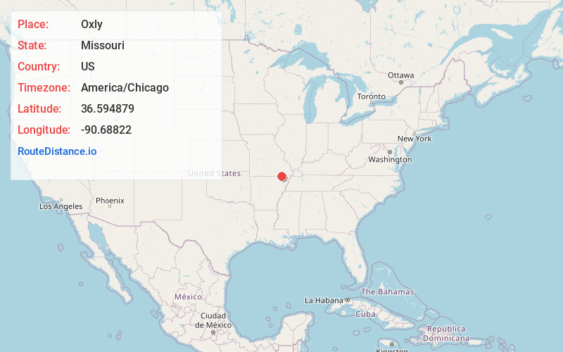
Full AddressOxly, MO
-
Coordinates36.594879, -90.6882195
-
LocationOxly , Missouri , US
-
TimezoneAmerica/Chicago
-
Current Local Time9:22:33 PM America/ChicagoFriday, June 20, 2025
-
Page Views0
About Oxly
Oxly is a census-designated place in southeastern Ripley County, Missouri, United States. It is located on Logan Creek along Missouri Route 142, approximately seven miles east of Doniphan.
A post office called Oxly has been in operation since 1900. The community has the name of F. G.
Nearby Places
Found 10 places within 50 miles

Naylor
4.9 mi
7.9 km
Naylor, MO 63945
Get directions

Fairdealing
6.1 mi
9.8 km
Fairdealing, MO 63945
Get directions

Doniphan
7.7 mi
12.4 km
Doniphan, MO 63935
Get directions
Success
9.9 mi
15.9 km
Success, AR 72470
Get directions
Neelyville
10.4 mi
16.7 km
Neelyville, MO 63954
Get directions

Corning
13.9 mi
22.4 km
Corning, AR 72422
Get directions
Datto
14.3 mi
23.0 km
Datto, AR
Get directions
Reyno
16.5 mi
26.6 km
Reyno, AR
Get directions
Maynard
16.8 mi
27.0 km
Maynard, AR 72444
Get directions

Grandin
17.8 mi
28.6 km
Grandin, MO 63943
Get directions
Location Links
Local Weather
Weather Information
Coming soon!
Location Map
Static map view of Oxly, Missouri
Browse Places by Distance
Places within specific distances from Oxly
Short Distances
Long Distances
Click any distance to see all places within that range from Oxly. Distances shown in miles (1 mile ≈ 1.61 kilometers).