Distance to Corning, Arkansas

Calculating Your Route
Just a moment while we process your request...
Location Information
-
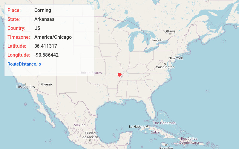
Full AddressCorning, AR 72422
-
Coordinates36.4113168, -90.5864418
-
LocationCorning , Arkansas , US
-
TimezoneAmerica/Chicago
-
Current Local Time5:46:02 PM America/ChicagoFriday, June 20, 2025
-
Page Views0
About Corning
Corning is a city in Clay County, Arkansas, United States. The population was 3,377 at the 2010 census. It is one of the two county seats of Clay County, along with Piggott.


Nearby Places
Found 10 places within 50 miles

Piggott
22.1 mi
35.6 km
Piggott, AR 72454
Get directions

Pocahontas
23.8 mi
38.3 km
Pocahontas, AR 72455
Get directions

Paragould
25.4 mi
40.9 km
Paragould, AR 72450
Get directions

Poplar Bluff
26.2 mi
42.2 km
Poplar Bluff, MO 63901
Get directions

Walnut Ridge
31.4 mi
50.5 km
Walnut Ridge, AR
Get directions

Kennett
31.9 mi
51.3 km
Kennett, MO 63857
Get directions

Brookland
34.8 mi
56.0 km
Brookland, AR 72417
Get directions

Malden
35.9 mi
57.8 km
Malden, MO 63863
Get directions

Jonesboro
40.3 mi
64.9 km
Jonesboro, AR
Get directions

Manila
43.5 mi
70.0 km
Manila, AR 72442
Get directions
Location Links
Local Weather
Weather Information
Coming soon!
Location Map
Static map view of Corning, Arkansas
Browse Places by Distance
Places within specific distances from Corning
Short Distances
Long Distances
Click any distance to see all places within that range from Corning. Distances shown in miles (1 mile ≈ 1.61 kilometers).