Distance to Malden, Missouri

Calculating Your Route
Just a moment while we process your request...
Location Information
-
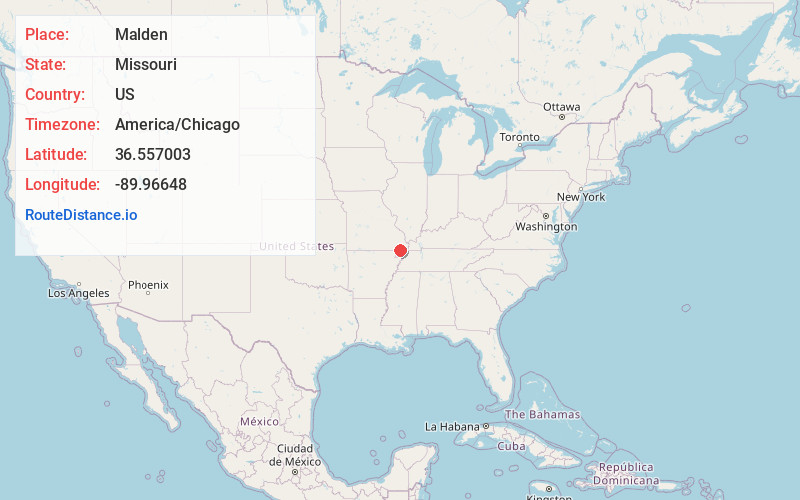
Full AddressMalden, MO 63863
-
Coordinates36.5570028, -89.9664798
-
LocationMalden , Missouri , US
-
TimezoneAmerica/Chicago
-
Current Local Time9:40:13 PM America/ChicagoWednesday, June 18, 2025
-
Website
-
Page Views0
About Malden
Malden is a city in the northeast corner of Dunklin County, Missouri, United States, located near the intersection of Missouri Route 25 and U.S. Route 62. The population was 4,277 at the 2010 census. Malden is within Missouri's 8th congressional district.

Nearby Places
Found 10 places within 50 miles

Dexter
16.5 mi
26.6 km
Dexter, MO 63841
Get directions

Kennett
22.7 mi
36.5 km
Kennett, MO 63857
Get directions

Poplar Bluff
27.4 mi
44.1 km
Poplar Bluff, MO 63901
Get directions

Tiptonville
30.1 mi
48.4 km
Tiptonville, TN 38079
Get directions

Sikeston
30.5 mi
49.1 km
Sikeston, MO 63801
Get directions

Caruthersville
30.5 mi
49.1 km
Caruthersville, MO 63830
Get directions

Charleston
42.4 mi
68.2 km
Charleston, MO 63834
Get directions

Blytheville
43.6 mi
70.2 km
Blytheville, AR 72315
Get directions

Paragould
45.4 mi
73.1 km
Paragould, AR 72450
Get directions

Dyersburg
48.5 mi
78.1 km
Dyersburg, TN 38024
Get directions
Location Links
Local Weather
Weather Information
Coming soon!
Location Map
Static map view of Malden, Missouri
Browse Places by Distance
Places within specific distances from Malden
Short Distances
Long Distances
Click any distance to see all places within that range from Malden. Distances shown in miles (1 mile ≈ 1.61 kilometers).