Distance to Kennett, Missouri

Calculating Your Route
Just a moment while we process your request...
Location Information
-
Full AddressKennett, MO 63857
-
Coordinates36.2361762, -90.0556493
-
LocationKennett , Missouri , US
-
TimezoneAmerica/Chicago
-
Current Local Time5:26:21 PM America/ChicagoSaturday, May 31, 2025
-
Website
-
Page Views0
About Kennett
Kennett is a city in and the county seat of Dunklin County, Missouri, United States. The city is located in the southeast corner of Missouri, 4 miles east of Arkansas and 20 miles from the Mississippi River. It had a population of 10,515 at the 2020 census.


Nearby Places
Found 5 places within 50 miles

Blytheville
22.8 mi
36.7 km
Blytheville, AR 72315
Get directions

Paragould
27.3 mi
43.9 km
Paragould, AR 72450
Get directions

Dyersburg
39.9 mi
64.2 km
Dyersburg, TN 38024
Get directions

Poplar Bluff
40.6 mi
65.3 km
Poplar Bluff, MO 63901
Get directions

Jonesboro
45.6 mi
73.4 km
Jonesboro, AR
Get directions
Location Links
Local Weather
Weather Information
Coming soon!
Location Map
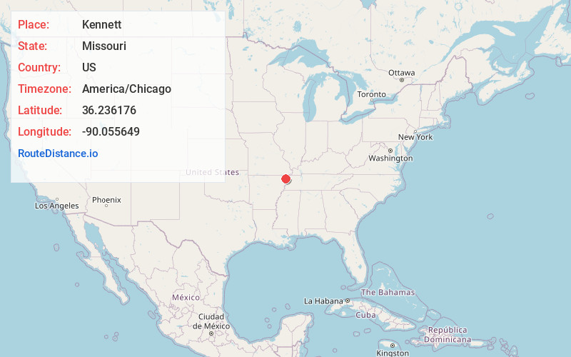
Static map view of Kennett, Missouri
Browse Places by Distance
Places within specific distances from Kennett
Short Distances
Long Distances
Click any distance to see all places within that range from Kennett. Distances shown in miles (1 mile ≈ 1.61 kilometers).