Distance to Caruthersville, Missouri

Calculating Your Route
Just a moment while we process your request...
Location Information
-
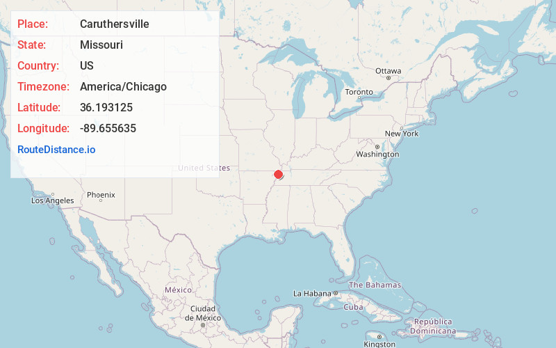
Full AddressCaruthersville, MO 63830
-
Coordinates36.1931245, -89.6556353
-
LocationCaruthersville , Missouri , US
-
TimezoneAmerica/Chicago
-
Current Local Time7:14:11 AM America/ChicagoThursday, June 5, 2025
-
Page Views0
About Caruthersville
Caruthersville is a city in and the county seat of Pemiscot County, Missouri, United States, located along the Mississippi River in the Bootheel region of the state's far southeast. The population was 5,562, according to the 2020 census.


Nearby Places
Found 10 places within 50 miles

Dyersburg
18.6 mi
29.9 km
Dyersburg, TN 38024
Get directions

Kennett
22.5 mi
36.2 km
Kennett, MO 63857
Get directions

Blytheville
23.1 mi
37.2 km
Blytheville, AR 72315
Get directions

Halls
26.3 mi
42.3 km
Halls, TN 38040
Get directions

Ripley
31.7 mi
51.0 km
Ripley, TN 38063
Get directions

Union City
37.0 mi
59.5 km
Union City, TN 38261
Get directions

Osceola
38.2 mi
61.5 km
Osceola, AR 72370
Get directions

Covington
43.1 mi
69.4 km
Covington, TN
Get directions

Dexter
44.9 mi
72.3 km
Dexter, MO 63841
Get directions

Martin
46.0 mi
74.0 km
Martin, TN
Get directions
Location Links
Local Weather
Weather Information
Coming soon!
Location Map
Static map view of Caruthersville, Missouri
Browse Places by Distance
Places within specific distances from Caruthersville
Short Distances
Long Distances
Click any distance to see all places within that range from Caruthersville. Distances shown in miles (1 mile ≈ 1.61 kilometers).