Distance to Bridge, Oregon

Calculating Your Route
Just a moment while we process your request...
Location Information
-
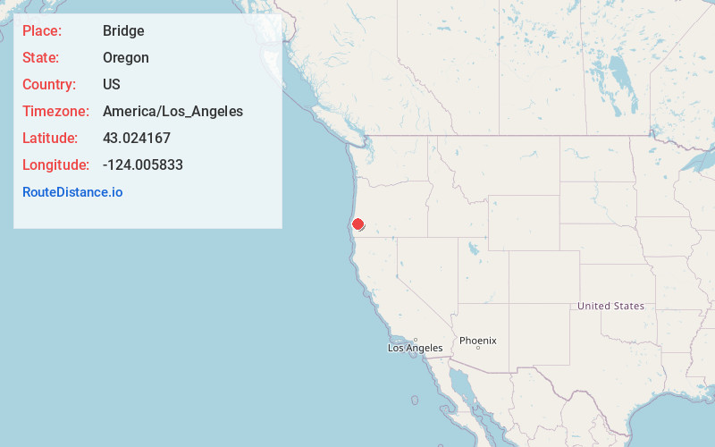
Full AddressBridge, OR 97458
-
Coordinates43.024167, -124.005833
-
LocationBridge , Oregon , US
-
TimezoneAmerica/Los_Angeles
-
Current Local Time10:57:48 PM America/Los_AngelesFriday, June 20, 2025
-
Page Views0
About Bridge
Bridge is an unincorporated community in Coos County, Oregon, United States. It is about 9 miles east of Myrtle Point on Oregon Route 42 near the Middle Fork Coquille River.
A post office two miles west of this locale was named "Angora" and ran from August 1883 until May 1894.
Nearby Places
Found 10 places within 50 miles

Bancroft
5.8 mi
9.3 km
Bancroft, OR 97458
Get directions
Remote
5.9 mi
9.5 km
Remote, OR 97458
Get directions
Gravelford
6.7 mi
10.8 km
Gravelford, OR 97458
Get directions
Estabrook
6.7 mi
10.8 km
Estabrook, OR 97458
Get directions
Gaylord
6.9 mi
11.1 km
Gaylord, OR 97458
Get directions

Myrtle Point
7.3 mi
11.7 km
Myrtle Point, OR 97458
Get directions

Dora
9.5 mi
15.3 km
Dora, OR 97458
Get directions

Powers
10.3 mi
16.6 km
Powers, OR 97466
Get directions

Arago
10.8 mi
17.4 km
Arago, OR 97458
Get directions
McKinley
11.4 mi
18.3 km
McKinley, OR 97458
Get directions
Location Links
Local Weather
Weather Information
Coming soon!
Location Map
Static map view of Bridge, Oregon
Browse Places by Distance
Places within specific distances from Bridge
Short Distances
Long Distances
Click any distance to see all places within that range from Bridge. Distances shown in miles (1 mile ≈ 1.61 kilometers).