Distance to Bridgehaven, Washington

Calculating Your Route
Just a moment while we process your request...
Location Information
-
Full AddressBridgehaven, WA 98365
-
Coordinates47.8342593, -122.6907115
-
LocationBridgehaven , Washington , US
-
TimezoneAmerica/Los_Angeles
-
Current Local Time7:54:09 AM America/Los_AngelesSaturday, June 21, 2025
-
Page Views0
Nearby Places
Found 10 places within 50 miles

Lofall
2.2 mi
3.5 km
Lofall, WA 98370
Get directions

Vinland
4.2 mi
6.8 km
Vinland, WA 98370
Get directions
Camp Discovery
5.0 mi
8.0 km
Camp Discovery, WA 98376
Get directions

Port Gamble
5.1 mi
8.2 km
Port Gamble, WA 98370
Get directions
Dabob
5.3 mi
8.5 km
Dabob, WA 98376
Get directions

Port Ludlow
6.3 mi
10.1 km
Port Ludlow, WA
Get directions

Poulsbo
7.1 mi
11.4 km
Poulsbo, WA 98370
Get directions
Mats Mats
7.4 mi
11.9 km
Mats Mats, WA 98365
Get directions
East Quilcene
7.5 mi
12.1 km
East Quilcene, WA 98376
Get directions

Bangor Base
7.9 mi
12.7 km
Bangor Base, WA
Get directions
Location Links
Local Weather
Weather Information
Coming soon!
Location Map
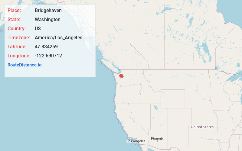
Static map view of Bridgehaven, Washington
Browse Places by Distance
Places within specific distances from Bridgehaven
Short Distances
Long Distances
Click any distance to see all places within that range from Bridgehaven. Distances shown in miles (1 mile ≈ 1.61 kilometers).