Distance to Bridgeport, California

Calculating Your Route
Just a moment while we process your request...
Location Information
-
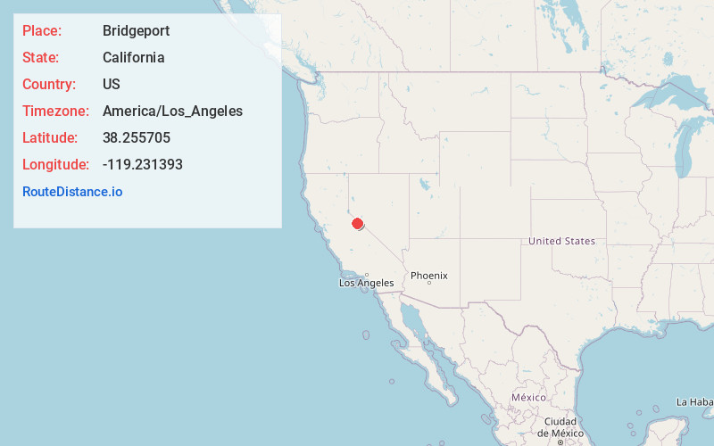
Full AddressBridgeport, CA 93517
-
Coordinates38.2557045, -119.2313932
-
LocationBridgeport , California , US
-
TimezoneAmerica/Los_Angeles
-
Current Local Time5:13:27 PM America/Los_AngelesSaturday, May 17, 2025
-
Page Views0
About Bridgeport
Bridgeport is an unincorporated community and census-designated place in Mono County, California, United States. It is the Mono county seat. The population was 553 at the 2020 census.
The first post office at Bridgeport opened in 1864. The ZIP code is 93517, and the community is in area codes 760 and 442.


Nearby Places
Found 10 places within 50 miles

Lee Vining
21.5 mi
34.6 km
Lee Vining, CA 93541
Get directions

Walker
21.7 mi
34.9 km
Walker, CA 96107
Get directions

Topaz Ranch Estates
35.8 mi
57.6 km
Topaz Ranch Estates, NV 89444
Get directions

Hawthorne
37.8 mi
60.8 km
Hawthorne, NV 89415
Get directions

Smith Valley
38.1 mi
61.3 km
Smith Valley, NV
Get directions

Yosemite Valley
40.4 mi
65.0 km
Yosemite Valley, CA 95389
Get directions

Strawberry
42.2 mi
67.9 km
Strawberry, CA
Get directions

Mammoth Lakes
44.3 mi
71.3 km
Mammoth Lakes, CA 93546
Get directions

Cold Springs
45.1 mi
72.6 km
Cold Springs, CA 95335
Get directions
Carter Springs
47.8 mi
76.9 km
Carter Springs, NV 89410
Get directions
Location Links
Local Weather
Weather Information
Coming soon!
Location Map
Static map view of Bridgeport, California
Browse Places by Distance
Places within specific distances from Bridgeport
Short Distances
Long Distances
Click any distance to see all places within that range from Bridgeport. Distances shown in miles (1 mile ≈ 1.61 kilometers).